Sequoia & Kings Canyon National Parks guide · 1 min read
Driving the Generals Highway Safely
The Generals Highway is the central route tying Sequoia and Kings Canyon together, and it is the way into the Giant Forest.
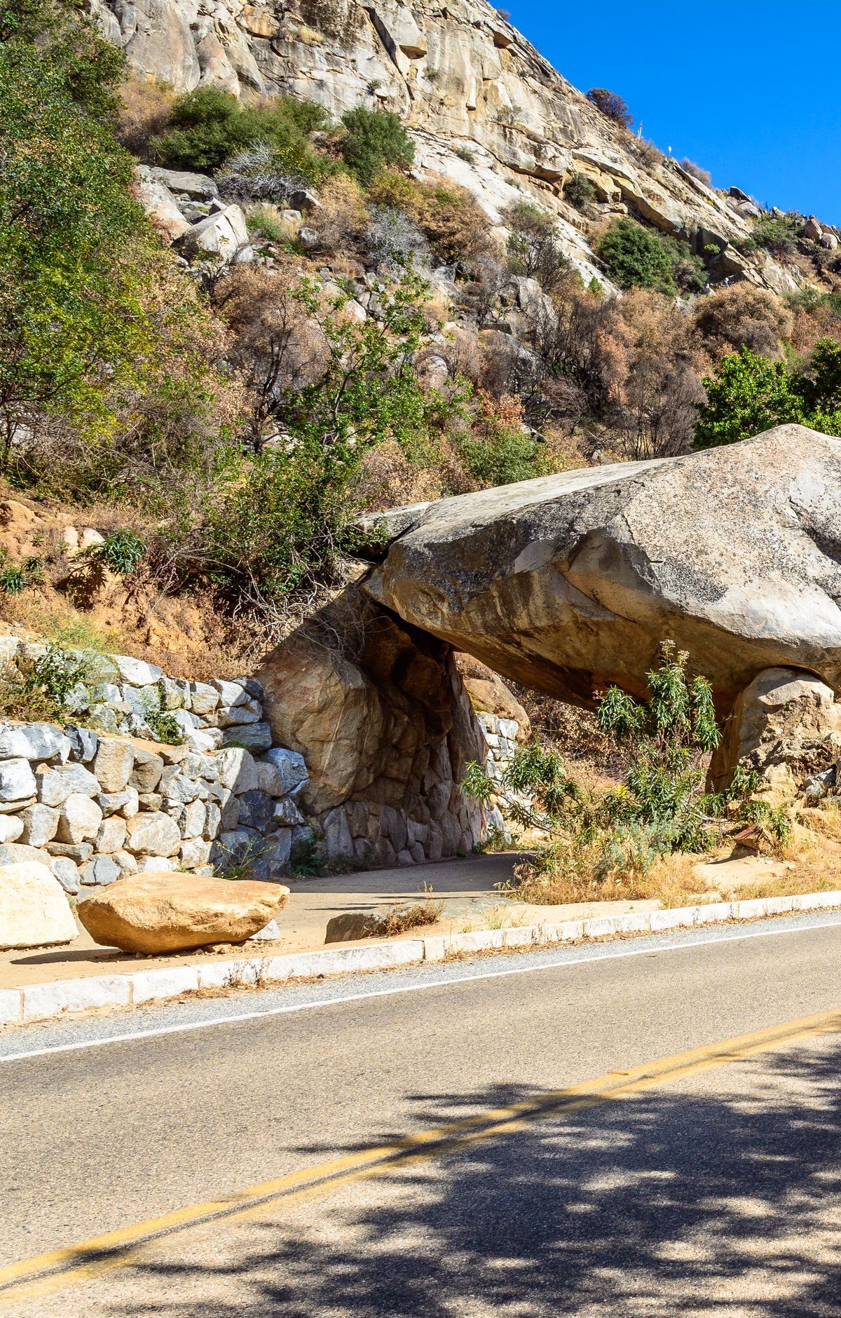
Inside the parks, Route 198 turns into the Generals Highway and links up with Highway 180. Expect a road that rises steeply, bends constantly, and stays narrow, with hairpin turns along the way. One section gains 5,000 feet across only a few miles, so take the curves at a patient pace.
Length limits apply on several stretches of the Generals Highway, so check your vehicle before you commit. Between Potwisha Campground and the Giant Forest Museum, drivers of anything longer than 22 feet are advised against going, and single vehicles over 40 feet are not allowed on that stretch. Between the Foothills Visitor Center and Potwisha Campground, the advisory begins at 24 feet. If your vehicle is over 22 feet, the better option is to enter by Highway 180.
Plan on finding no fuel anywhere inside the parks, and electric vehicles will not find chargers there either. Top off before you cross the entrance. For backup, the nearby national forest has two gas stations, one at Hume Lake and one at Stony Creek Resort.
Highway 180 starts in Fresno and heads east into Kings Canyon, then runs another 30 miles to Cedar Grove. Route 198 comes up from Visalia through Three Rivers into Sequoia. Both highways weave in and out of Sequoia National Forest, so keep a map handy and look for route signs, since it is easy to lose your bearings. Snow and ice can bring chain requirements on park roads, so carry chains and plan around them. Busy summer weekends and holidays can also mean long waits at the entrance stations, so allow extra time.