
Theodore Roosevelt National Park hiking guide
Buck Hill Trail
A 0.6-mile out-and-back with 110 ft of climbing in South Unit, rated easy.
Key facts
- Length
- 0.6 mi (1.0 km)
- Elevation gain
- 110 ft (33 m)
- Route type
- Out and back
- Difficulty
- Easy
- Area
- South Unit
- Highest point
- 2,855 ft
- Lowest point
- 2,792 ft
About Buck Hill Trail
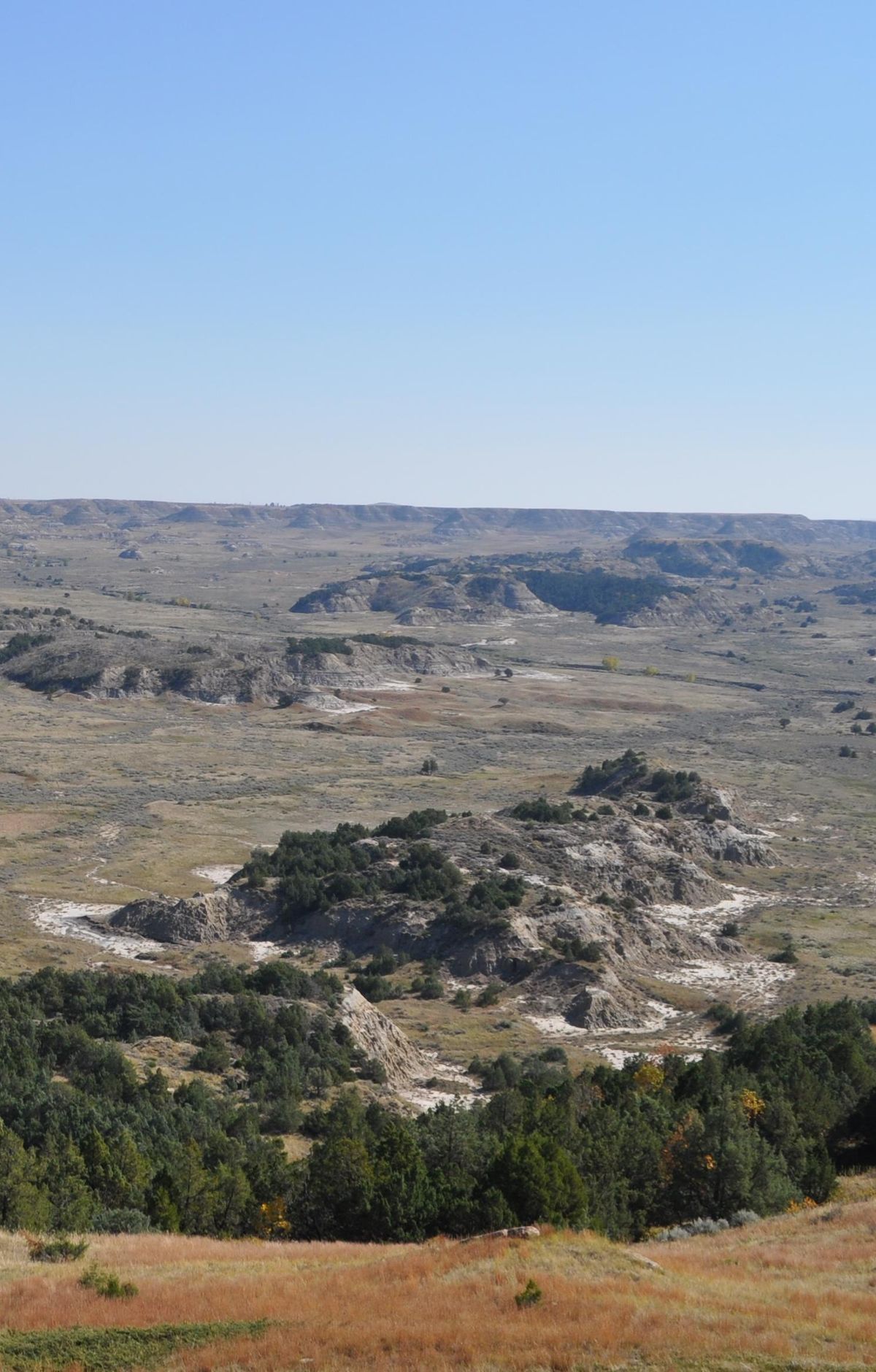
Buck Hill rises to the second highest point in the South Unit, and from the top you can see for miles in every direction. A paved path climbs steeply and turns to dirt near the summit, with uneven footing and a few steps along the way. Sturdy shoes are worth wearing, and it's wise to stay well back from the steep edges up top. The trailhead sits beside a small roundabout off the scenic drive.
Route map
This route was checked by Parka editors.
