Parka

Theodore Roosevelt National Park hiking guide

Petrified Forest Loop Trail

A 9.2-mile loop with 980 ft of climbing in South Unit, rated moderate.
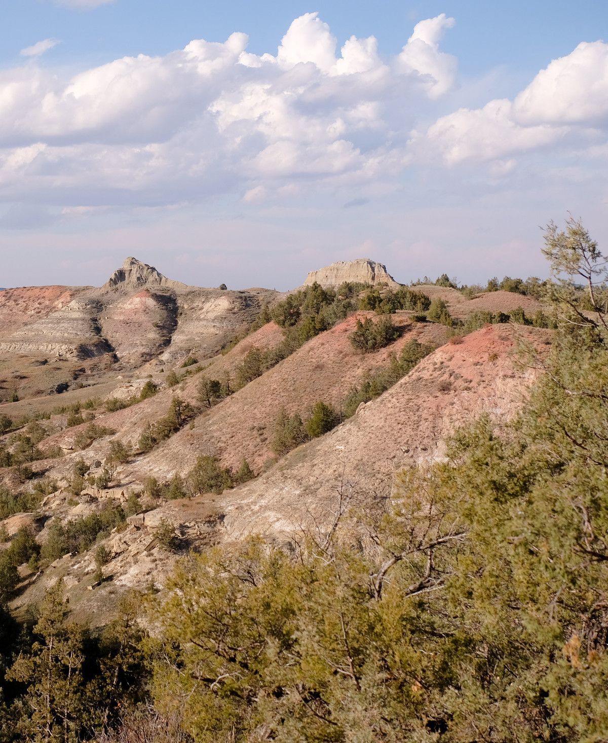
Petrified Forest Loop Trail, Theodore Roosevelt National Park
Photo: Sharon Mollerus · CC BY 2.0

Key facts

Length
9.2 mi (14.9 km)
Elevation gain
980 ft (297 m)
Route type
Loop
Difficulty
Moderate
Area
South Unit
Highest point
2,726 ft
Lowest point
2,389 ft

About Petrified Forest Loop Trail

Millions of years ago, this ground was a swamp where trees fell, were buried and slowly turned to stone. Their fossilized remains lie scattered across the landscape, and the same beds hold Paleocene fossils of turtles, fish and crocodile-like champsosaurs. The route crosses badlands and grasslands where bison are often seen, with little shade and an unmaintained, uneven surface. Leave every fossil and rock where you find it, since removing any resource from the park is illegal.

Route map

Route map of Petrified Forest Loop Trail in Theodore Roosevelt National Park1 miN
Start and finishNorth is up. Drawn from the route in the Parka app.

This route was checked by Parka editors.

Elevation profile

Elevation profile of Petrified Forest Loop Trail2,4002,5002,6002,70002468Distance (miles)Elevation (ft)High 2,726 ftLow 2,389 ft
Elevation runs from 2,389 ft to 2,726 ft over 9.2 miles of mapped route. The profile is sampled from elevation data along the route.

Nearby in South Unit

Why Park Lovers Choose Parka

Trip Planner

All the tools for epic adventures

Works Offline

Fully functional without cell service

Updated Weekly

Trail conditions, alerts, and closures

Try Risk-Free

7-day free trial, cancel anytime

Start Your 7-Day Free Trial

Unlock everything you need for your next national park trip. Your first week is on us!

National Park vista

Start your adventure today

Download Parka and plan your perfect national park trip in minutes.

Explore All 63 National Parks

Browse parks by region and discover your next adventure