Voyageurs National Park guide · 2 min read
Kabetogama's Trails: Locator Lake to Blind Ash
The Kab-Ash Trail is the park's long-distance option for backcountry hikers. It links the Kabetogama and Ash River communities through forests and wetlands, and four trailheads let you hike a smaller section or attempt a thru-hike.
The network is made of interconnected loops, so bring a good topographic map and a compass.
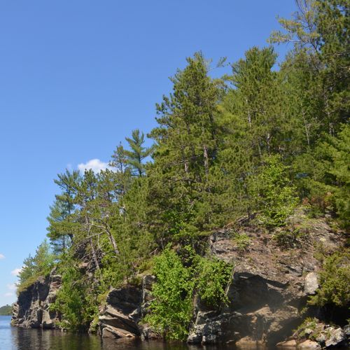
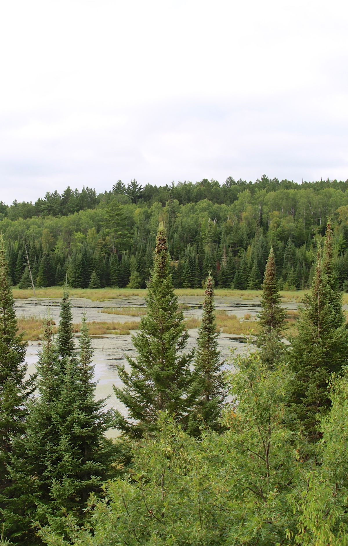
Its eastern section crosses glacially exposed granite outcrops of the Vermilion Batholith, which make up the spine of the ridges. The route climbs some of the park's highest ground, then dips through low gaps of spruce, fir, cedar, beaver ponds and meadows before rising onto the next ridge.
The Locator Lake Trail is a strenuous two-mile, one-way hike that starts on the north shore of Kabetogama Lake. It climbs over several ridges, passes through forest and wetlands, and ends on the southern shore of Locator Lake, one of several interior lakes in the Chain of Lakes. The Blind Ash Bay Trail is a moderate loop of about 2.9 miles through boreal forest. Its path is rocky and turns often, and an overlook shows Kabetogama Lake.
The Echo Bay Hiking Trail covers 2.5 miles at an easy pace and is a good spot for both birding and cross-country skiing. The Beaver Pond Overlook Trail is much shorter, a 0.4-mile round trip that climbs briefly through aspen and pine to a rocky outcrop above an active beaver pond. A vault toilet sits just after the trailhead, and your best chance of seeing animals comes at the start and end of the day.
Birding is rewarding along these routes. Sixteen warbler species have been recorded on the Blind Ash Bay Trail, and hermit and Swainson's thrushes, scarlet tanagers and red-breasted nuthatches show up near the treetops. Every backcountry trailhead can be reached only by water, and much of the park is best explored by boat.