Wrangell - St Elias National Park & Preserve guide · 2 min read
Mount Wrangell and the Park's Active Volcanoes
Mount Wrangell rises to 18,008 feet and ranks as the biggest volcano in the nation apart from those in Hawaii.
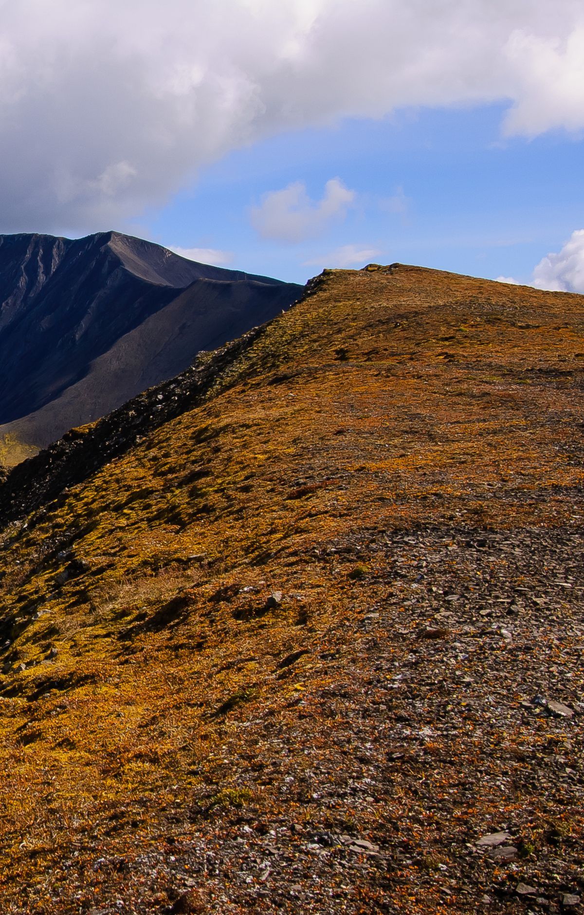
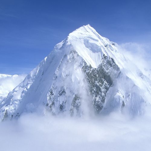
It sits within the Wrangell volcanic field, a group of volcanoes that lies mostly at the western end of the Wrangell Mountains. Those mountains are one of four ranges within the park. The park also has a set of peaks over 16,000 feet, and several of them are active volcanoes.
Most volcanoes in the field are shield types, low and wide, built up quickly from many andesite flows that poured out of several vents. Many have large collapsed craters, known as calderas, at the summit, and smaller cinder cones have formed around the base after the main peaks took shape. Ice has sculpted all but Mount Wrangell into sharper, steeper forms. Mount Wrangell has kept the soft, rounded outline that young shield volcanoes show.
Unlike many volcanoes tied to subduction, the western Wrangell volcanoes seldom erupt explosively. Their formation is linked to the arrival of the Yakutat terrane, and heavy activity continued until roughly 200,000 years ago. Since then, the Denali-Totchunda and Fairweather faults have carried part of the Pacific Plate's motion. For that reason, enormous lava flows seem unlikely today.
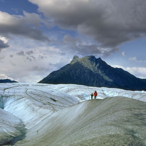
Ice covers roughly a third of the park, and it holds the greatest concentration of glaciers in North America. The Bagley Icefield ranks as the largest icefield on the continent that lies outside the polar regions. Among valley glaciers anywhere on the planet, the Nabesna Glacier is the longest.
Nabesna Road runs 42 miles and is one of only two roads that reach into the park. Along it, Rufus Creek Wayside sits at mile 6.1 and offers a primitive camping spot and rest area with a toilet. Flightseeing trips give another view, letting you see the summits and glaciers from the air.