Yellowstone National Park guide · 2 min read
Driving the Grand Loop Road's Figure-Eight
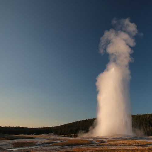
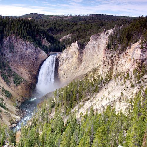
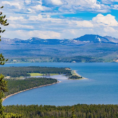
The main road through Yellowstone is shaped like the numeral eight. All five park entrances feed into this Grand Loop Road, and from it you can reach Old Faithful Geyser, Yellowstone Lake and the Grand Canyon of the Yellowstone River.
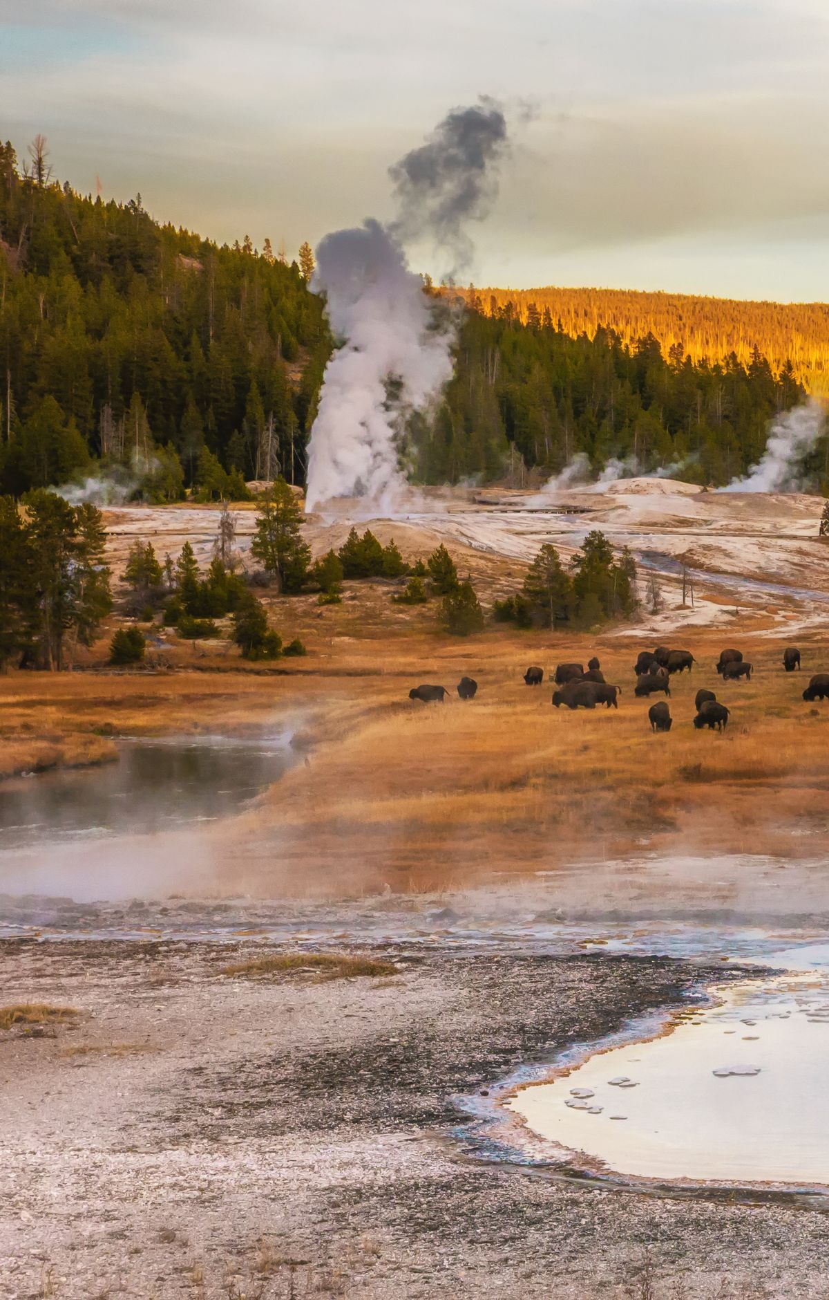
Picturing that figure-eight makes the whole park far easier to plan around.
The bottom half, called the lower loop, runs roughly 90 miles, linking West Thumb, Old Faithful, Madison, Norris, Canyon and Lake Village. The top half, the upper loop, covers about 70 miles from Norris to Mammoth, on to Tower-Roosevelt and Canyon, then back to Norris. Norris and Canyon sit where the two loops meet, so you can switch halves at either point.
The road connects all eight of the park's developed areas. Moving around the eight, Mammoth Hot Springs is at the upper left and Norris Geyser Basin is in the middle of the left side. Madison and Old Faithful fill the lower left. West Thumb, Grant Village, Bridge Bay, Lake Village and Fishing Bridge line the lower right, with Canyon Village midway up the right side and Tower-Roosevelt at the upper right.
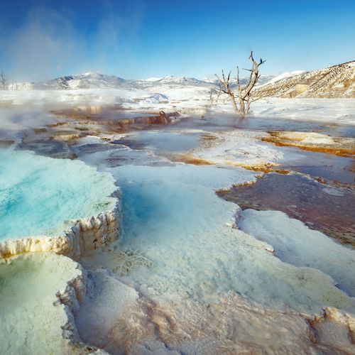
A few short side drives branch off the main route. Near Mammoth, Upper Terrace Drive is a one-mile loop that passes the Main Terraces, Fort Yellowstone, the Gardner River and Orange Spring Mound. Blacktail Plateau Drive is a six-mile, one-way dirt road through forest and meadow toward Tower-Roosevelt. In the Lower Geyser Basin, three-mile Firehole Lake Drive leads past Great Fountain Geyser and White Dome Geyser.
The quieter Blacktail Plateau Drive offers a chance to spot bison, elk and bears from your car. If you would rather not drive, classic buses offer guided tours of the Grand Loop Road. Either way, plan to step out of the vehicle often, since the park covers about 2.2 million acres and much of it is best seen on foot.