Yosemite National Park guide · 1 min read
Two Rivers, One Crowded Valley: Yosemite's Layout
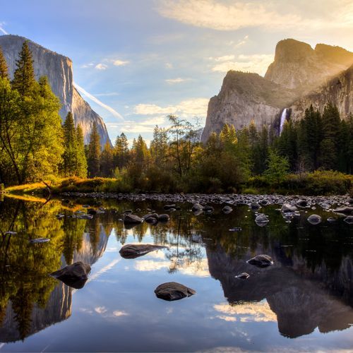
Yosemite Valley covers about 12 square miles, roughly one percent of the park, yet most of the more than five million yearly visitors spend their time there.
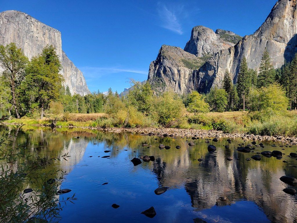
Everything else spreads across nearly 1,200 square miles of mountain country in California's Sierra Nevada, an area close to the size of Rhode Island. Two rivers organize the land: the Tuolumne drains the northern half and the Merced runs through the south.
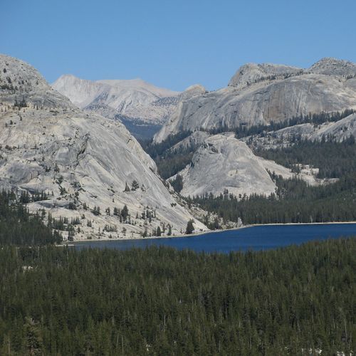
Roughly 95 percent of Yosemite is protected wilderness, and a wide web of hiking trails runs through it. Along the northern and eastern edges, the boundary traces a line of alpine peaks, while the south and west follow straighter lines.
With so many people heading to the same places, expect delays. Lines can form at the entrance stations, traffic can back up on the roads, and open parking spaces can be hard to find. Building extra time into the day makes these waits easier to absorb.
Leaving the car behind is one way around the congestion. YARTS buses carry riders into Yosemite Valley from many California cities and beyond, rolling past Arch Rock on the way in. Once inside, shuttle buses help with getting around. Drivers, including those with RVs and trailers, also use the Tioga Road to travel through the park.