
Yosemite National Park hiking guide
Mist Trail
A 6.3-mile out-and-back with 2,160 ft of climbing in Yosemite Valley, rated difficult.
Key facts
- Length
- 6.3 mi (10.2 km)
- Elevation gain
- 2,160 ft (660 m)
- Route type
- Out and back
- Difficulty
- Difficult
- Area
- Yosemite Valley
- Highest point
- 5,987 ft
- Lowest point
- 4,027 ft
About Mist Trail
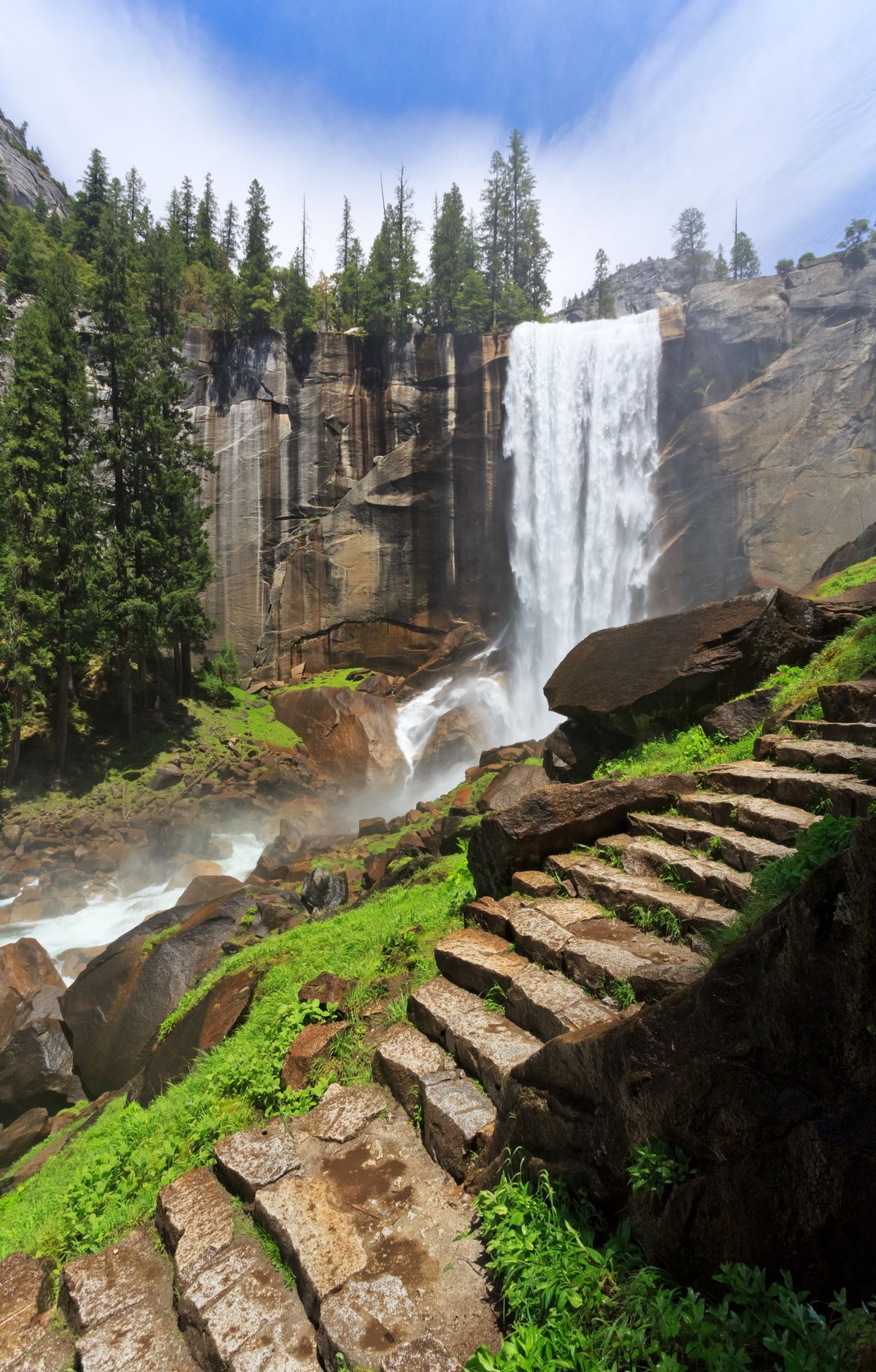
This iconic trail follows the Merced River, offering breathtaking views of Vernal Fall and Nevada Fall. The path is steep and slippery, especially during spring runoff, but rewards hikers with stunning vistas and unique geological features. The trail's popularity is evident in its high visitation rates, making it a must-experience for many park visitors.
Route map
This route was checked by Parka editors.
