Badlands National Park guide · 2 min read
Exploring the Roadless South Unit
The North Unit is where most of the park's roads run, but the South Unit is different. No roads cut through it.
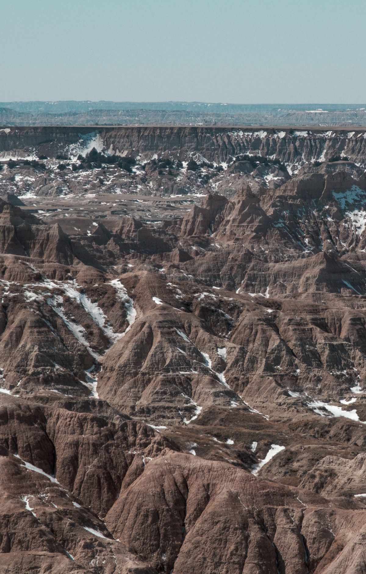
Visitors reach its interior in just two ways, by driving up Sheep Mountain Table or by hiking into the backcountry on foot. Sheep Mountain Table sits on the border of the North and South units.
Sheep Mountain Table Road begins on the west side of South Dakota Highway 27, 4.5 miles south of Highway 44 at Scenic. This dirt road climbs 5 miles to the top of the table, where an overlook gives views of the Badlands. Four-wheel drive vehicles are advised even when conditions are dry. Stay off the road during and after storms. Beyond the overlook, only high-clearance vehicles with four-wheel drive can keep going, reaching a dead end after 2.5 miles.
The perimeter drive lets you see the South Unit from your car. Start in Scenic and head south on South Dakota Highway 27 for 20 miles, where it meets Highway 2. Continue west on Highway 2 for 21 miles to Highway 41, then head north and stop at Red Shirt Table Overlook. The trip from Scenic to Red Shirt takes about an hour one way.
The Stronghold and Palmer Creek units lie within the Pine Ridge Indian Reservation. The Oglala Lakota and the National Park Service manage them together under a cooperative agreement. The White River Visitor Center is in the Stronghold Unit.
Hiking is the other way into the South Unit. Badlands is an open hike park, which means you can leave the trails, but while camping you must stay a half mile from any road or trail and out of sight of them. Visitors without four-wheel drive can park at the Sheep Mountain Table overlook and walk the dirt road 2.5 miles to its end for the views.