
Badlands National Park guides
11 in-depth guides to Badlands National Park, in reading order: what to see, how to get around, and what to know before you go. Back to the Badlands National Park overview.
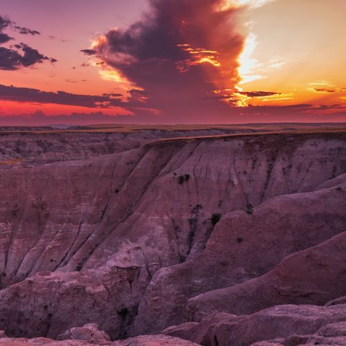
Surviving Badlands Extremes: 116°F to -40°F
Readings in the Badlands have run from a high of 116 degrees down to 40 below zero. Summer heat is dry, but thunderstorms can turn violent with little notice.
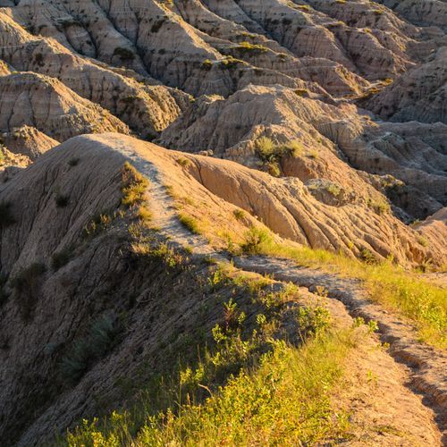
Driving the Badlands Loop Road Overlooks
Badlands Loop Road, also known as Highway 240, is the route most visitors take through the North Unit of Badlands National Park.
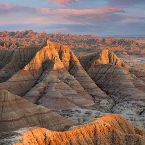
Notch, Castle and Saddle Pass Trails
Hiking is one of the best ways to see the rugged scenery of Badlands National Park. Most trails here are short and fairly flat, but three stand out for the different kinds of walking they offer.
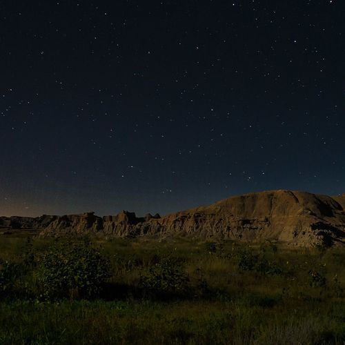
Cedar Pass Telescopes and Badlands Astronomy Festival
The Badlands Astronomy Festival is an annual three-day event at Badlands National Park. Space scientists, amateur astronomers, teachers, youth groups, and park guests all gather for it.
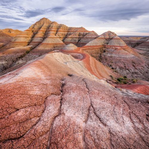
How an Inch a Year Carves the Badlands
Water and wind are the main forces shaping Badlands National Park, and together they wear away about an inch of ground each year.
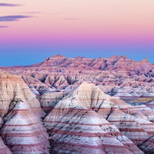
Oligocene Fossil Beds: Ancient Horses and Rhinos
The rock layers of Badlands National Park hold fossils from the Oligocene epoch, a span that ran from 23 to 35 million years ago.
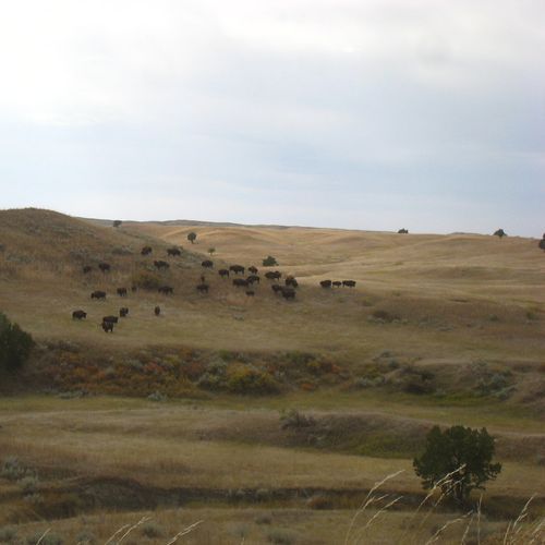
Bison, Bighorn Sheep and the Mixed-Grass Prairie
Within the park, a stretch of mixed-grass prairie ranks among the biggest of its kind in the country.
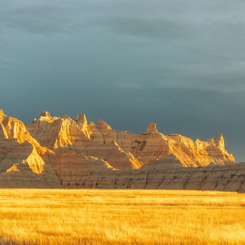
Mako Sica: Lakota Land and Its History
The Lakota people call this land Mako Sica, written Makȟóšiča, a name that translates to bad lands.
Cedar Pass Lodge vs Sage Creek Campground
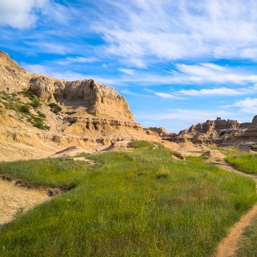
Cedar Pass Lodge and Sage Creek Campground suit different kinds of trips. Cedar Pass Lodge is the only overnight lodging inside Badlands National Park, with 26 cabin units.
Exploring the Roadless South Unit
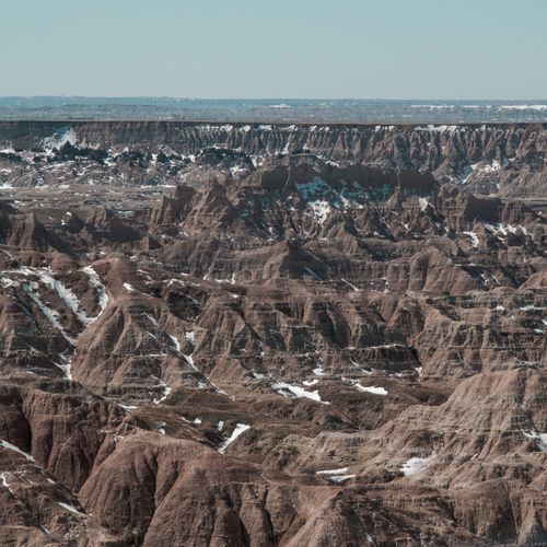
The North Unit is where most of the park's roads run, but the South Unit is different. No roads cut through it.
Sage Creek Rim Road: Gravel Road to Bison Country
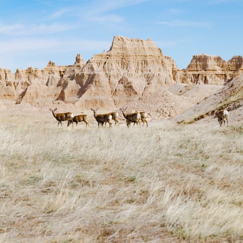
Sage Creek Rim Road, also marked as Highway 590, runs through the western section of the park on a gravel surface.
