Canyonlands National Park guide · 2 min read
Sedimentary Layers from Ancient Oceans to Deserts
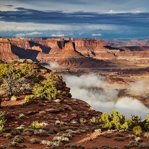
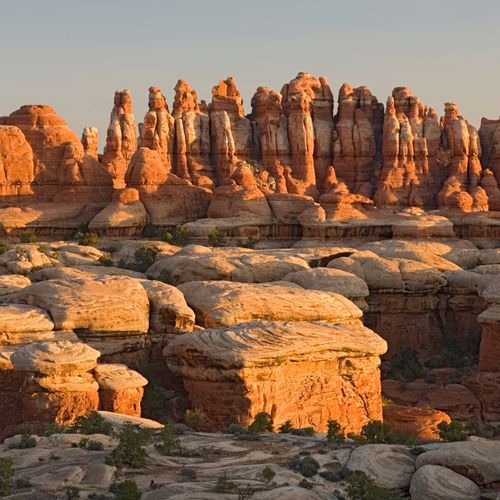
Cliff faces throughout the park show millions of years of deposition and erosion, built from layers of sedimentary rock.
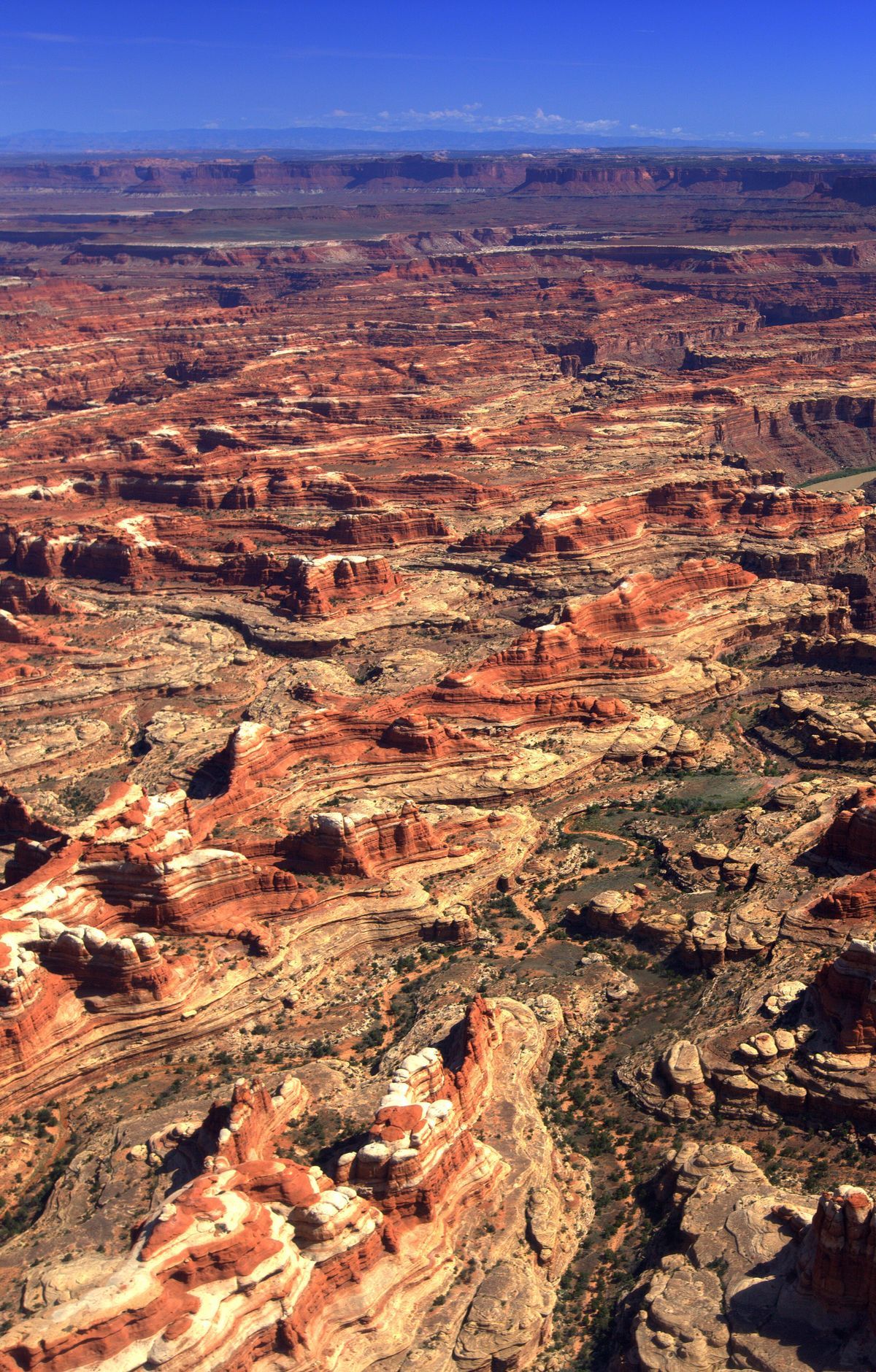
Few parts of the Colorado Plateau remain as undisturbed as the land inside the park. This geological province takes in much of the Colorado River along with its tributaries. The lowest ground in the park sits at 3,700 feet, and the highest points reach 7,200 feet.
The salt story begins in the Pennsylvanian period, when a basin was sinking while a mountain range rose nearby. Seawater trapped in that basin evaporated into thick salt beds, which mixed with debris washed off the mountains to form the Paradox Formation. The salt began to flow later in that period and likely kept moving until the end of the Jurassic. Near the close of the Pennsylvanian, a warm, shallow sea flooded the area again and left behind the gray, fossil-rich Honaker Trail Formation.
Upheaval Dome is a distinctive feature of the landscape. It is a deeply eroded impact structure, the remnant of an ancient crater. Earlier researchers suggested that salt movement had pushed up a dome, but newer studies point toward a meteorite strike.
The Syncline Trail winds through canyons around Upheaval Dome. Hikers face steep switchbacks and boulder fields, and the elevation changes by 1,300 feet along the route. Most of the park's rescues happen on this trail, so plan carefully. Slickrock hikes offer other routes, including Upper Little Spring Canyon, Big Spring Canyon, Lower Little Spring Canyon, and Panorama.
Look closely at the ground and you may see biological soil crust, a living groundcover that forms the base of high desert plant life. It is knobby and black, built mainly from cyanobacteria with lichens, mosses, and microfungi mixed in. The crust prevents erosion and holds water, so when hiking off trail, stick to washes, which are dry streambeds, or to slickrock.