Death Valley National Park guide · 2 min read
Driving 3.4 Million Acres Without Entrance Stations
Death Valley National Park spreads across 3.4 million acres, making it the largest national park in the contiguous United States.
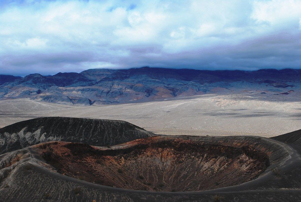
Roadless wilderness protects more than 93 percent of that ground. Still, the park has more road mileage than any other national park, close to a thousand miles in all, some paved and many dirt, and those roads lead drivers to remote canyons, old mines, and historic routes.
Paying to enter is simple whichever way you arrive. Drivers coming in on a dirt road can buy a pass ahead of time through Recreation.gov, print it, and leave it on the dashboard where it is easy to spot. Anyone who would rather pay in person can do so at the Furnace Creek Visitor Center.
Titus Canyon Road is one of several dirt entrances, joining Wildrose Canyon Road, Harry Wade Road, Death Valley Big Pine Road, and Saline Valley Road. Many of these routes run for long distances without any services, and phones pick up no signal out there. If a vehicle breaks down or gets stuck, rescue could be many hours away, so it pays to be ready to get yourself out.
A vehicle with high clearance and four-wheel drive is the park's recommended choice, and a few roads are only for drivers who already have experience on rough ground. Carry a paper map instead of trusting satellite navigation, and pick up detailed printed maps through the Death Valley Natural History Association. The Backcountry and Wilderness Access Map shows which roads to take and where camping is legal, and sleeping beside your vehicle is allowed on the park's most isolated routes.
Stovepipe Wells Village, 24 miles west of Furnace Creek on California 190, offers lodging, a restaurant and saloon, a gift shop, and a gas station. Trip planning starts at the Furnace Creek Visitor Center, where rangers answer questions, and inside you can watch a 20-minute film, study the exhibits, and browse the bookstore.