Denali National Park & Preserve guide · 1 min read
From Mount McKinley Park to Denali
Congress created Mount McKinley National Park in 1917, with protecting Dall sheep as its main purpose.
Its boundaries later grew, and lawmakers gave the park more reasons to exist. These included safeguarding North America's tallest mountain and offering a setting for wilderness recreation. Federal historic surveys have also recorded structures such as the Kantishna Roadhouse, Stevens Cabin and Quigley Cabin. Today the park is called Denali National Park and Preserve.
The Denali Wilderness covers about one-third of the park and preserve, or 2,146,580 acres, matching the former park boundaries before 1980. Sport hunting is permitted on the preserve acreage, which lies along the park's western side. Together the park and preserve now span roughly 6 million acres.
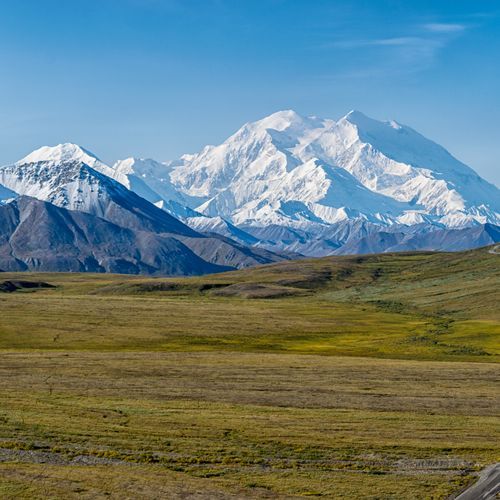
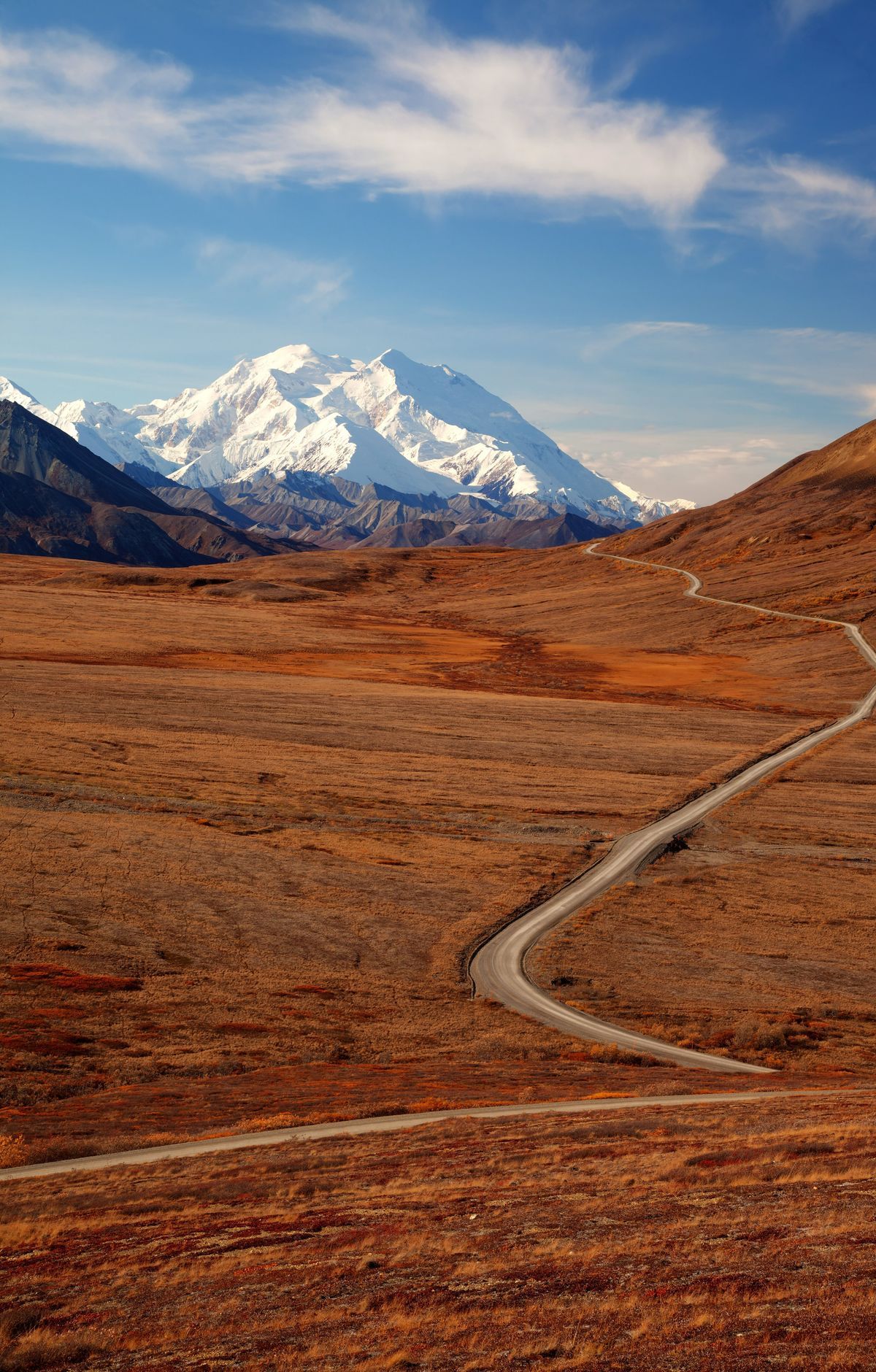
Denali, federally designated as Mount McKinley, is the highest peak in North America at 20,310 feet, or 6,190 meters. From base to summit it rises about 18,000 feet, more than any other mountain in the world. Its upper slopes fall inside the Denali Wilderness, which covers the high country of the central Alaska Range.
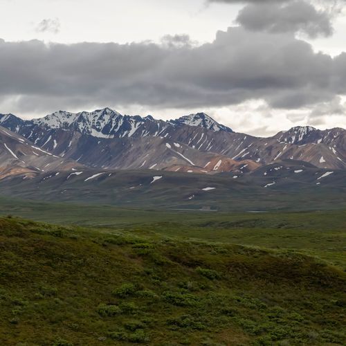
The Denali Park Road is the only road in the park, running about 92 miles through the Alaska Range. The first 15 miles are paved and reach Savage River, and past that point buses and bicycles are the way to continue. Many visitors hope to see grizzly bears, caribou, moose, wolves and Dall sheep, though no sighting is promised.
On clear days the peak is visible from distant Anchorage and Fairbanks. Inside the park it shows and hides again as the road curves past lower summits. Veteran bus drivers estimate that summer days give a clear look at the mountain only about one time in three. Drivers can catch it from roughly Mile 9 when the sky is not heavily overcast.