Gates Of The Arctic National Park & Preserve guide · 1 min read
Arrigetch Peaks: Fingers of the Hand Extended
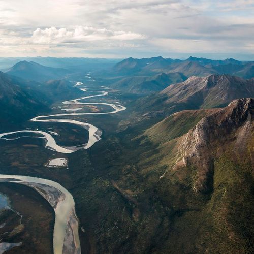
The Arrigetch Peaks rise from the central Brooks Range, the northernmost mountain range in North America, and their summits climb thousands of feet over the highlands below.
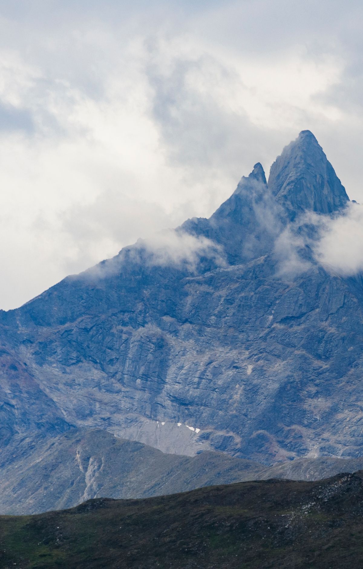
The area covers 38,313 acres. For a long time, the inland Eskimo people of northwestern Alaska have regarded these peaks as a landmark, and their name for them, Arrigetch, means "fingers of the hand extended." The National Park Service recognizes the peaks as a National Natural Landmark, a program that honors sites with notable geological and biological value.
Glacial ice and flowing water shaped these granite pinnacles from hard, resistant rock, wearing down the ground around them by several thousand feet. Rock faces stand between 3,000 and 4,000 feet tall above the valley floors nearby. Where granite meets other rock, the seam is sharp and clearly exposed, revealing where the granite intruded into the surrounding rock and how a narrow transition zone runs along its edge. Eleven small cirque glaciers persist in the area today.
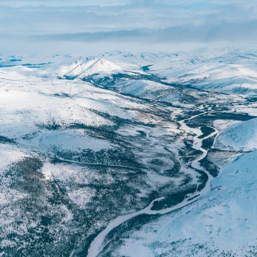
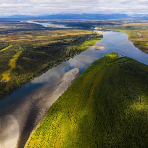
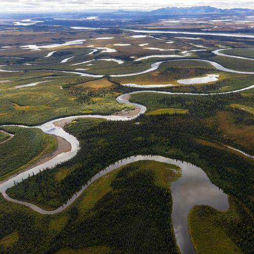
The park has no roads or official trails, so visitors usually fly in by bush plane or hike in from the Dalton Highway, which runs five miles east of the park. Float-equipped aircraft are the main way to reach the Arrigetch Peaks. Hikers often head for the Arrigetch Peaks and Mount Igikpak, which rank among the park's most visited mountains. Backpacking is allowed across the park, and some people float its wild rivers on pack rafts.
Technical climbing draws climbers to the Arrigetch Peaks, Mount Doonerak, and Mount Igikpak, where many summits qualify as technical routes. Since the land is wilderness, climbers should avoid bolts and fixed anchors. Anyone who wants to place fixed anchors must apply to the park for a special use permit first.