
Gates Of The Arctic National Park & Preserve guides
11 in-depth guides to Gates Of The Arctic National Park & Preserve, in reading order: what to see, how to get around, and what to know before you go. Back to the Gates Of The Arctic National Park & Preserve overview.
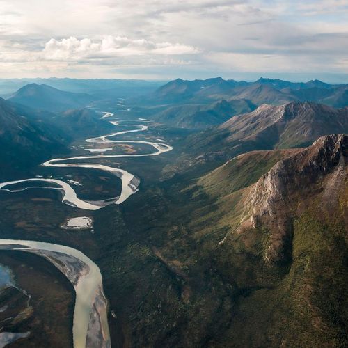
Floatplanes from Bettles: Reaching the Park
There are no roads into Gates of the Arctic, so most people arrive by air. Most visitors book an air taxi, flying in small aircraft that carry floats for water landings or tundra tires for rough ground.
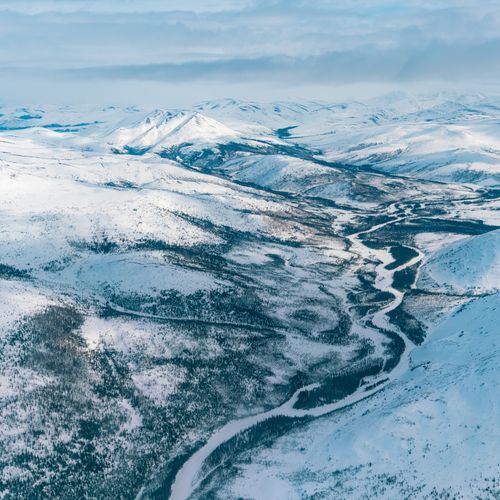
Brooks Range Extremes: -75°F Winters, 90°F Summers
The park has an arctic and sub-arctic climate, and it shapes nearly every part of a trip. Winters bring an average minimum near minus 67 degrees, while summers are brief and cool.
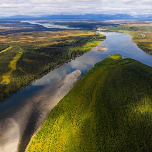
Trailless Travel and Route-Finding with USGS Maps
Gates of the Arctic has no established trails, so every route is one you must choose and work out yourself.
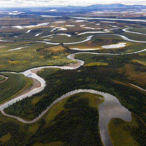
Floating Arctic Rivers: Rapids, Sweepers, Logjams
Floating the Wild and Scenic Rivers is one of the main ways to travel through Gates of the Arctic.
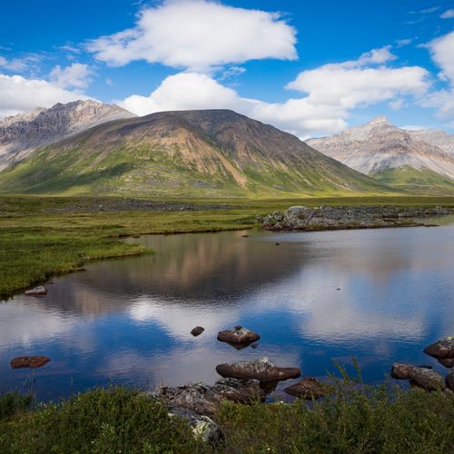
Climbing Arrigetch, Doonerak and Igikpak
The Arrigetch Peaks lie in the central Brooks Range, the northernmost chain of mountains on the continent.
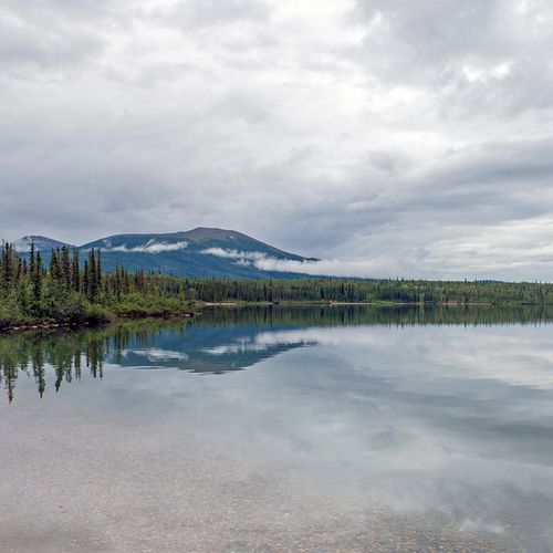
Lake Trout, Arctic Char and Grayling Fishing
Lake trout are Alaska's largest freshwater fish and the biggest members of the char family.
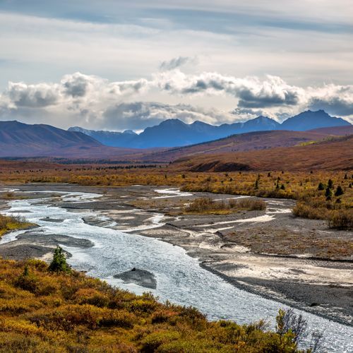
Western Arctic Caribou Herd and Arctic Wildlife
Caribou follow routes across the park that have been used for ages. Three herds depend on its habitat: the Western Arctic, Central Arctic, and Teshekpuk.
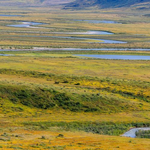
Permafrost, Tundra and Leave No Trace
Permafrost lies beneath much of this landscape, and the growing season is short, which together leave the tundra surprisingly fragile.
Nunamiut Hunters and 12,000 Years of History
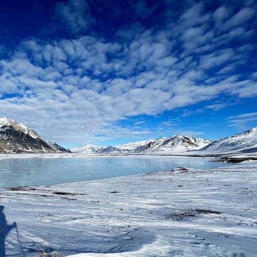
Nomadic groups lived across the Brooks Range for more than 12,000 years, relying mainly on caribou and other wildlife.
Subsistence Life in Resident Zone Communities
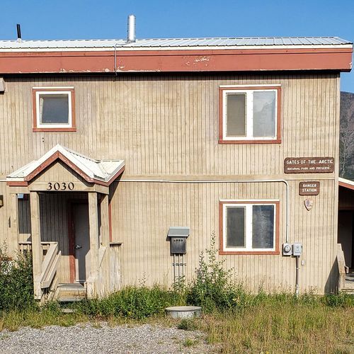
Several communities in and around the park are designated resident zone communities. Allakaket, Shungnak, Alatna, Ambler, Anaktuvuk Pass, Bettles, Evansville, Hughes, Kobuk, Nuiqsut, and Wiseman make up the group, and residents depend on the park for food and income.
Arrigetch Peaks: Fingers of the Hand Extended
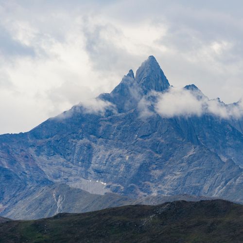
The Arrigetch Peaks rise from the central Brooks Range, the northernmost mountain range in North America, and their summits climb thousands of feet over the highlands below.
