Gates Of The Arctic National Park & Preserve guide · 1 min read
Trailless Travel and Route-Finding with USGS Maps
Gates of the Arctic has no established trails, so every route is one you must choose and work out yourself.
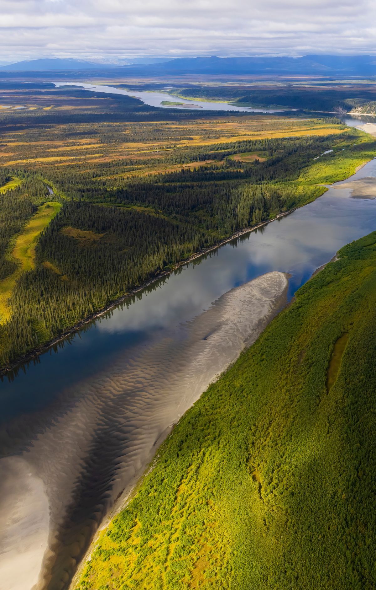
Good maps are the starting point. The Trails Illustrated map of Gates of the Arctic gives a broad view of the whole park and preserve, and you can get it through Alaska Geographic. For the detail needed on the ground, plan with topographic maps.
Two map scales matter most. The 1:250,000 scale, where one inch equals about four miles, shows the broad layout of a region. The 1:63,360 scale, where one inch equals one mile, is far more detailed and is the one to use for in-depth route planning. Select topographic maps are available at the Fairbanks Alaska Public Lands Information Center, so it is worth stopping there before heading into the field.
Bring your maps, a reliable compass, and a GPS unit if you can get one. Cell phones do not work in the park. Ground to air radios, satellite phones and personal locator beacons may help in an emergency, and two-way devices are strongly recommended. Search and rescue is not readily available and only begins after someone reports a person missing, so complete a Backcountry Visitor Registration before you leave and give a copy to someone you trust.
Plan realistic daily mileage, since off-trail progress is slow. A solid day for an experienced hiker is about six miles. Thick brush, clumps of tussock grass, soggy ground and repeated creek and river fords all slow every mile. The firmest ground usually sits on ridges and along stream drainages, where the trees thin out into tundra that stays close to the ground. Most trips will involve at least one river crossing.