Glacier National Park guide · 1 min read
Going-to-the-Sun Road: The Park's Scenic Highway
Going-to-the-Sun Road runs for 50 miles through the center of Glacier National Park, climbing high into the mountains and crossing the Continental Divide.
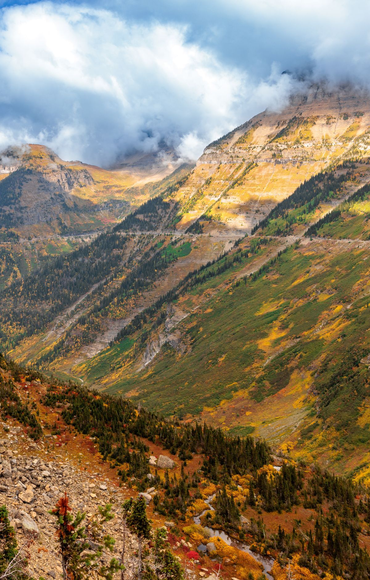
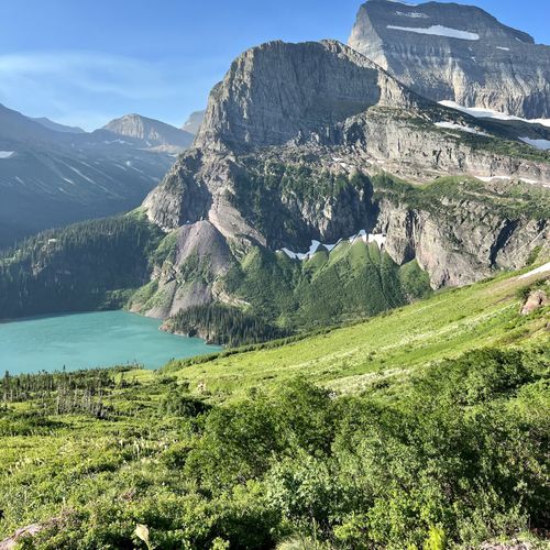
It is the most visited part of the park, and for many first-time visitors it is where most of the trip unfolds. Along the way, the road passes glacier-carved peaks, alpine lakes with emerald-blue water, and thick forests.
The road was built in the late 1920s and early 1930s, and it remains a narrow route full of curves and switchbacks. Because of that, any vehicle over 21 feet in length, 8 feet in width or 10 feet in height has to stay off it. Driving straight through takes roughly two hours, but traffic is often heavy and most people stop frequently, so it is wise to set aside three to eight hours. Numerous turnouts let you pull off safely and take in the view.
Logan Pass is the high point of the drive, where the road meets the Continental Divide. There is parking at the pass, and several hiking trails begin here, so it makes a natural place to get out and stretch. Many visitors linger here to take in the alpine views before continuing on.
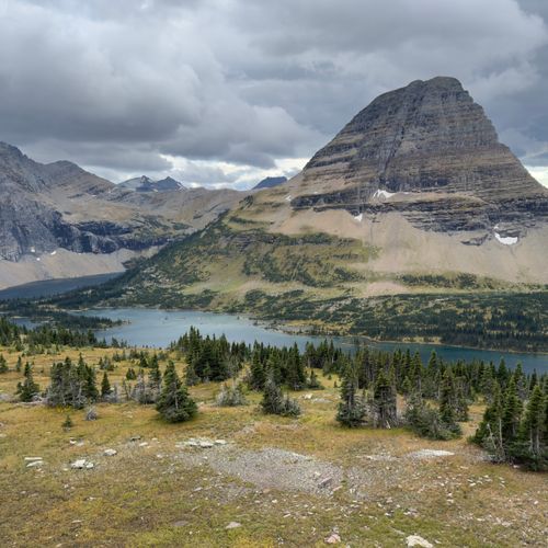
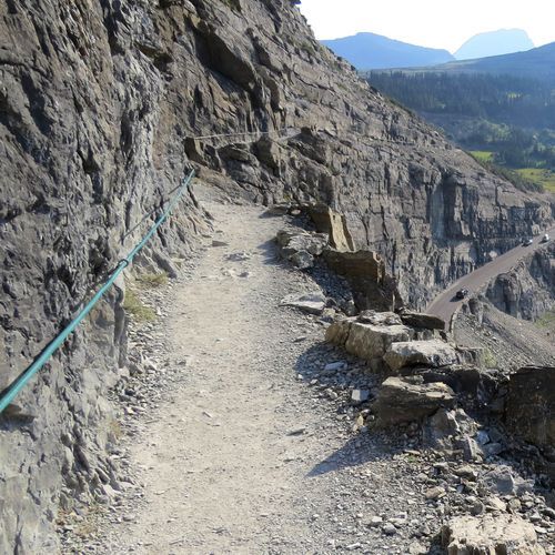
The road is also the way in to some of the park's best-known hikes. From the Highline Trail, hikers can look back down on the road and Logan Pass. Hidden Lake Overlook is another favorite in the area, and Trail of the Cedars and Avalanche Lake are also reached from the road. Pairing the drive with a walk or two is the best way to see this corridor up close.