Great Basin National Park guide · 2 min read
Alpine Lakes Loop to Wheeler Peak Trail
The Alpine Lakes Loop is an easy hike that still gets you away from the road. The loop covers 2.7 miles, and most hikers finish it in one and a half to three hours.
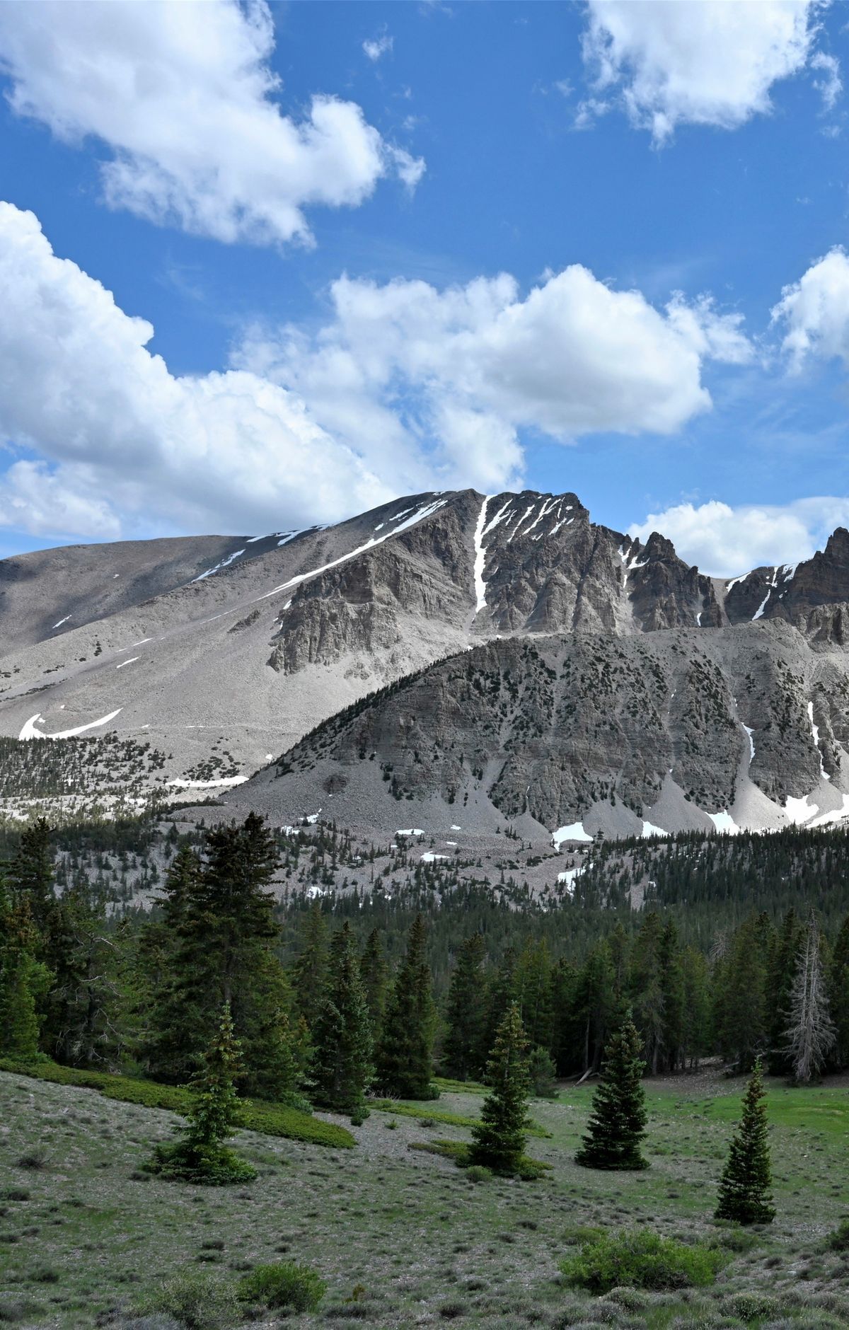
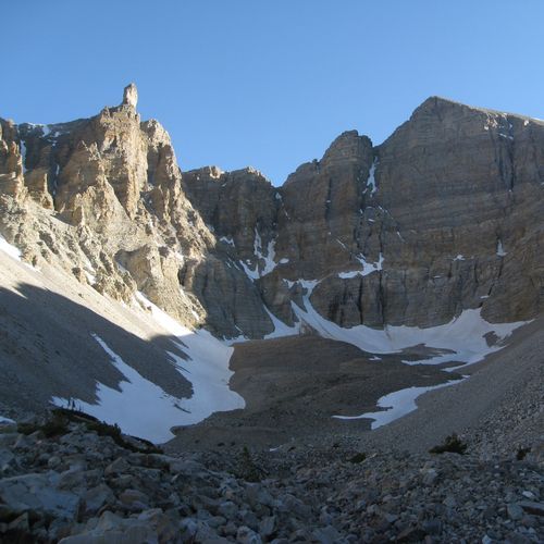
It starts at the Bristlecone Trailhead at the far end of the Wheeler Peak Scenic Drive, then climbs about 440 feet as it circles Stella Lake and Teresa Lake. Both lakes sit among alpine meadows and stands of conifers, with Wheeler Peak and Doso Doyabi rising above the path.
For a longer outing, the Wheeler Peak Summit Trail leaves the loop near Stella Lake. From there, hikers head west to a saddle and then continue along the wide north ridge toward the summit of Wheeler Peak, which at 13,063 feet is the highest point in the park. A round trip covers close to 9 miles and usually takes 4 to 10 hours, with roughly 2,900 feet of climbing. This is a strenuous climb, but the top offers a broad view of the surrounding peaks.
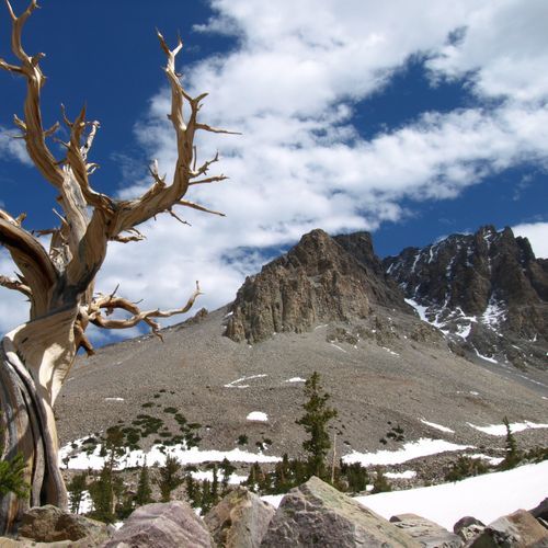
The paved Wheeler Peak Scenic Drive covers 12 miles of hairpin curves, climbing from near 6,700 feet to above 10,000 feet. Without stops, the trip takes about half an hour. Several trailheads line the way, including the Summit Trailhead about 11 miles in and the Bristlecone Trailhead at the top. The Bristlecone Trail covers 2.8 miles through a grove of ancient bristlecone pines and shares its first stretch with the Alpine Lakes Loop.
Altitude is a real factor here. The Alpine Lakes Loop starts near 9,890 feet, and altitude sickness can affect even people who live at high elevation. The alpine and sub-alpine ground is fragile, so stay on the trail and watch your step around sensitive plants. Parking can fill on busy weekends and holidays, so keep a backup hike in mind.