Great Sand Dunes National Park & Preserve guide · 2 min read
How Wind and Water Built These Dunes
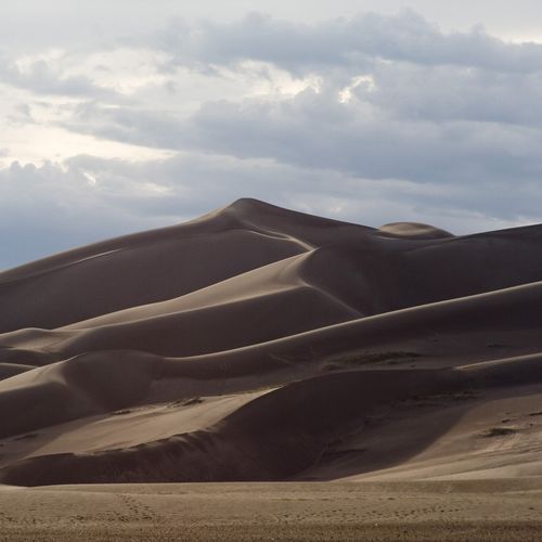
The dunefield holds the tallest dunes in North America, and Star Dune rises 750 feet from the floor of the San Luis Valley.
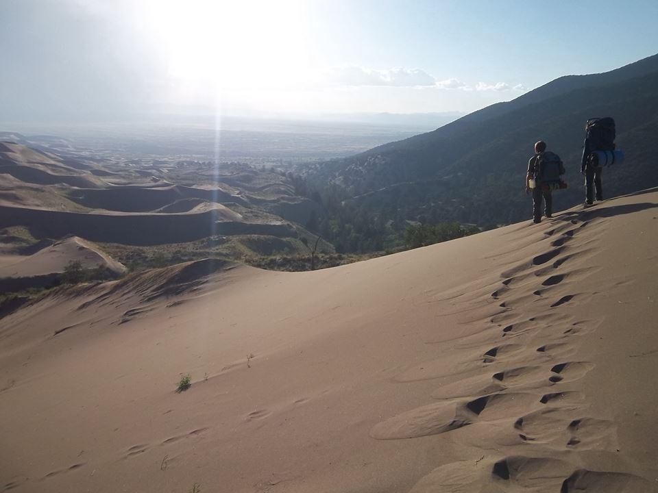
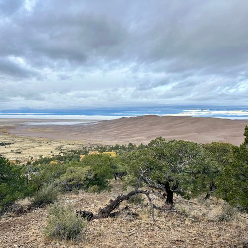
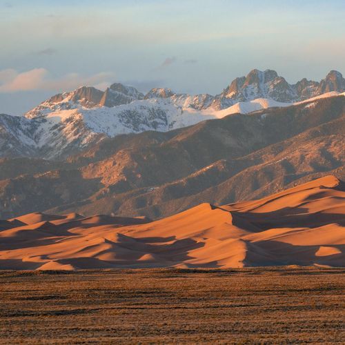
The dunes sit against the western base of the Sangre de Cristo Mountains, while the San Juan Mountains lie to the west across the valley. Sediment from both ranges has been filling that valley for a very long time.
Meltwater from those ranges once flowed into the valley and formed Lake Alamosa, which washed sand and sediment into the basin. When the lake receded, it left that sand behind. Wind carried the sand toward the mountains, where it piled up, and during storms winds from the opposite direction help the dunes grow taller.
Wind and water keep the sand cycling. Snow-fed and rain-fed creeks carry sand down out of the mountains, and once they sink into the valley floor, wind gathers the grains and blows them back toward the dunes. Medano Creek runs along the base of the dunes, where sand dams build up and give way, sending water surging in pulses much like waves on a beach.
Three dune types make up the field: reversing, transverse and star. Transverse dunes go by the names crescentic or barchan dunes. Reversing dunes rise above the edge of the montane forest.
There are no trails in the sand, so you can walk anywhere across the 30-square-mile dunefield. Wear high-top boots with long pants to keep sand out of your shoes, and skip sandals, which can chafe your feet. Walk along the ridge tops for the firmest footing. It is hard to get lost, since the mountains, entrance road and visitor center stay in view. On hot summer days, plan to hike in early morning or evening, when afternoon heat can push the sand surface to 150 degrees and thunderstorms with lightning can develop.