Great Sand Dunes National Park & Preserve guide · 2 min read
Four Paved Miles: Visitor Center to Piñon Flats
Four miles of paved road run from the park entrance to the main stops. From the entrance, you can reach the Visitor Center, the Dunes Parking Area and Picnic Area, the Mosca Pass Trailhead, and Piñon Flats Campground.
The Visitor Center is located just past the entrance station.
Inside, you will find restrooms, a station for filling water bottles, and hands-on exhibits suited to every age. A 20-minute film gives an overview of the park, and rangers can answer questions and help shape your day. The building also holds a park store selling basic snacks, and a back porch with a scope for looking out.
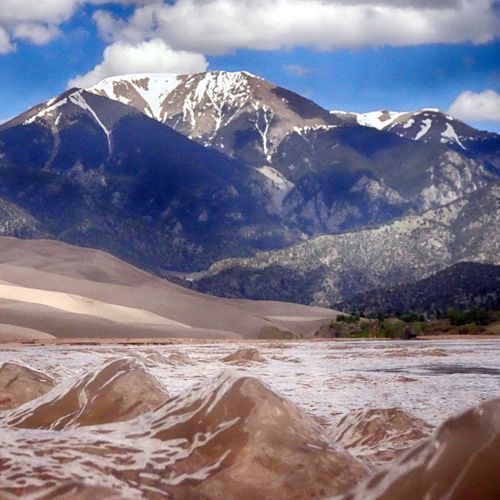
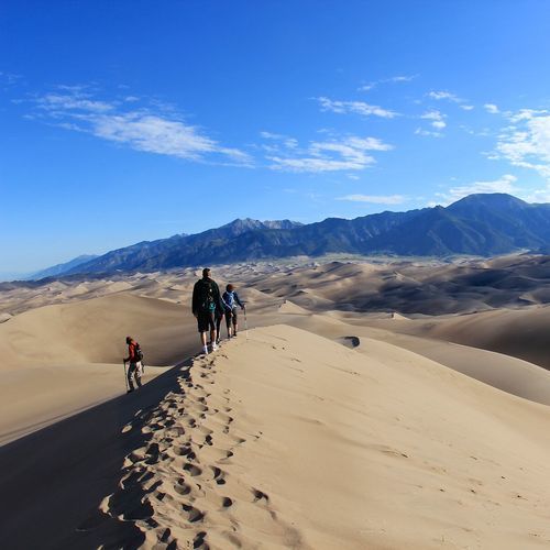
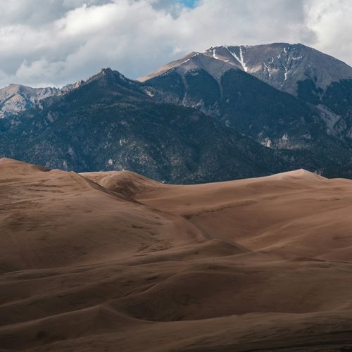
The Dunes Parking Area is the starting point for the dunefield, roughly 30 square miles of sand where the tallest dunes in North America rise. Because no trails mark the sand, you are free to wander in any direction. In summer, time your visit for the cooler hours near dawn or dusk, since the sand surface can reach 150 degrees, and lightning-producing thunderstorms can roll in. Long pants and boots help stop grains from sneaking into your shoes, and staying along the ridgetops gives the firmest footing. High Dune is a moderate 2.5-mile hike with no trail, ending at the tallest dune on the first ridge.
The Mosca Pass Trailhead opens onto a route that climbs beside a small creek toward a low pass in the Sangre de Cristo range, passing through aspen and evergreen trees. Going one way covers 3.5 miles, and the climb to the pass takes two to three hours. For a shorter outing, Montville Nature Trail covers half a mile, mostly shaded, and its high point looks out over the dunes and the valley.
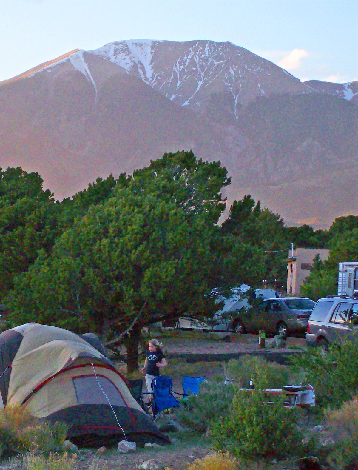
Wellington Ditch Trail is an easy 2-mile route linking the Visitor Center with the campground. The campground at Piñon Flats sits one mile north of the Visitor Center.