Great Sand Dunes National Park & Preserve guide · 1 min read
From Dunes to Tundra in the Sangre de Cristos
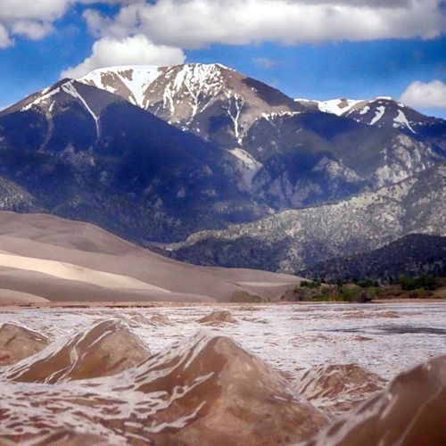
The tallest dunes in North America climb as high as 750 feet above the San Luis Valley floor, sitting at the foot of the Sangre de Cristo Range, part of the Rocky Mountains.
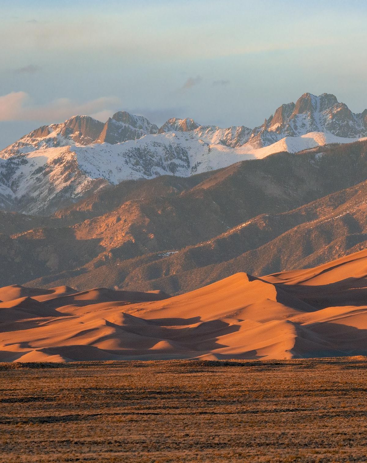
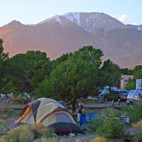
The dunefield spans about 30 square miles. Above it, snow often caps the forested peaks, and many of them top 13,000 feet.
Behind the dunes, the land climbs into high country of alpine lakes and tundra. Forests of spruce and pine, groves of aspen and cottonwood, open grassland and wetlands also make up the terrain. Tijeras Peak reaches 13,604 feet, the highest point in the northern section of the preserve, and six peaks in the park rise above 3,000 feet.
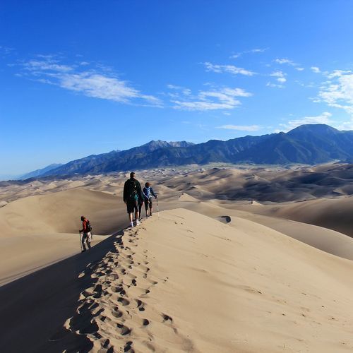
Most of the forests, lakes and peaks in the preserve, along with the dunes themselves, are protected as designated wilderness. Visitors can head out on a day hike or plan an overnight backpacking trip. With no trails across the dunefield, you are free to roam wherever you choose, and the crests of the ridges offer the most secure footing. From the sand you can spot the mountains, the entrance road and the visitor center, landmarks that make it hard for an adult to lose their way.
Medano and Sand Creeks haul sand down from the mountains and deposit it in the dunefield, a slow supply that keeps the dunes building. Land managed by the United States Forest Service borders the park on its north, south and east sides. The Rio Grande National Forest covers the western flank of the Sangre de Cristos, the San Isabel National Forest takes the east, and together they hold eight peaks above 14,000 feet.