Guadalupe Mountains National Park guide · 2 min read
Guadalupe Peak: Summiting the Top of Texas
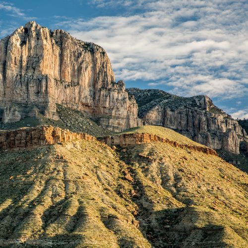
Guadalupe Peak rises to 8,751 feet, making it the highest point in Texas. The Guadalupe Peak Trail climbs to its summit in the Guadalupe Mountains.
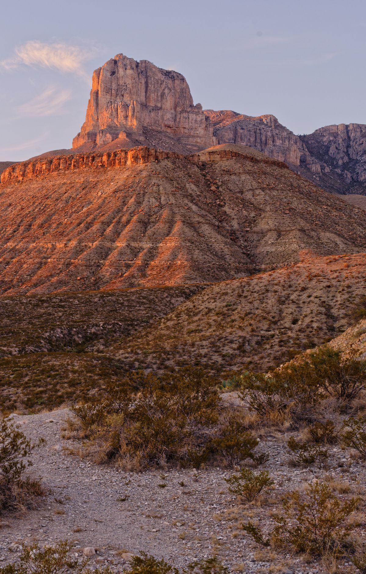
The round trip covers about 8.4 miles and gains 3,000 feet, and most hikers should plan on six to eight hours.
The trail starts at the Pine Springs Trailhead, half a mile from the Pine Springs Visitor Center, and the summit is 4.2 miles one way from there. Stop at the visitor center to check in first. From its parking lot, bear right and follow the signs for the Guadalupe Peak Trail. When the trailhead lot fills, overflow parking is available at the visitor center.
The steepest climbing comes early, over the opening 1.5 miles, where the path zigzags up a slope. Keep to the switchbacks instead of cutting across them, since shortcuts cause the ground to erode faster. Expect rough rock underfoot, stretches of steep stone steps, and a few narrow spots.
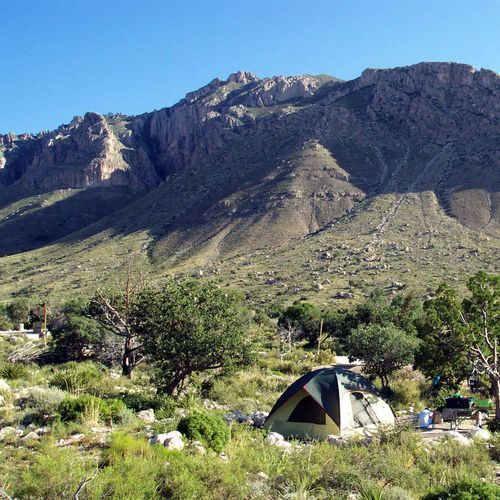
Once the trail covers roughly 1.5 miles, the grade softens as it passes a cliff and curves onto a north-facing slope. Cooler, shadier conditions there support small stands of pinyon pine, southwestern white pine, and Douglas fir. About 3.1 miles from the trailhead and roughly one mile below the summit, the Guadalupe Peak Wilderness Campground sits beside the trail. A sign on the right points to a rocky but well-defined spur of about 150 yards. Reaching it means climbing roughly 2,200 feet from the trailhead.
From the top, the views reach across the park and the Chihuahuan Desert. Along the way, the hike moves through both high desert and high elevation forest ecosystems. Carry the ten essential items plus one more, which help with minor injuries, sudden weather changes, and unexpected delays. Spend time at the summit to enjoy the view before heading back down.