Guadalupe Mountains National Park guide · 1 min read
Following the Butterfield Overland Mail Route
For a direct look at the old Butterfield Overland Mail route, the Pinery Trail is a good place to start.
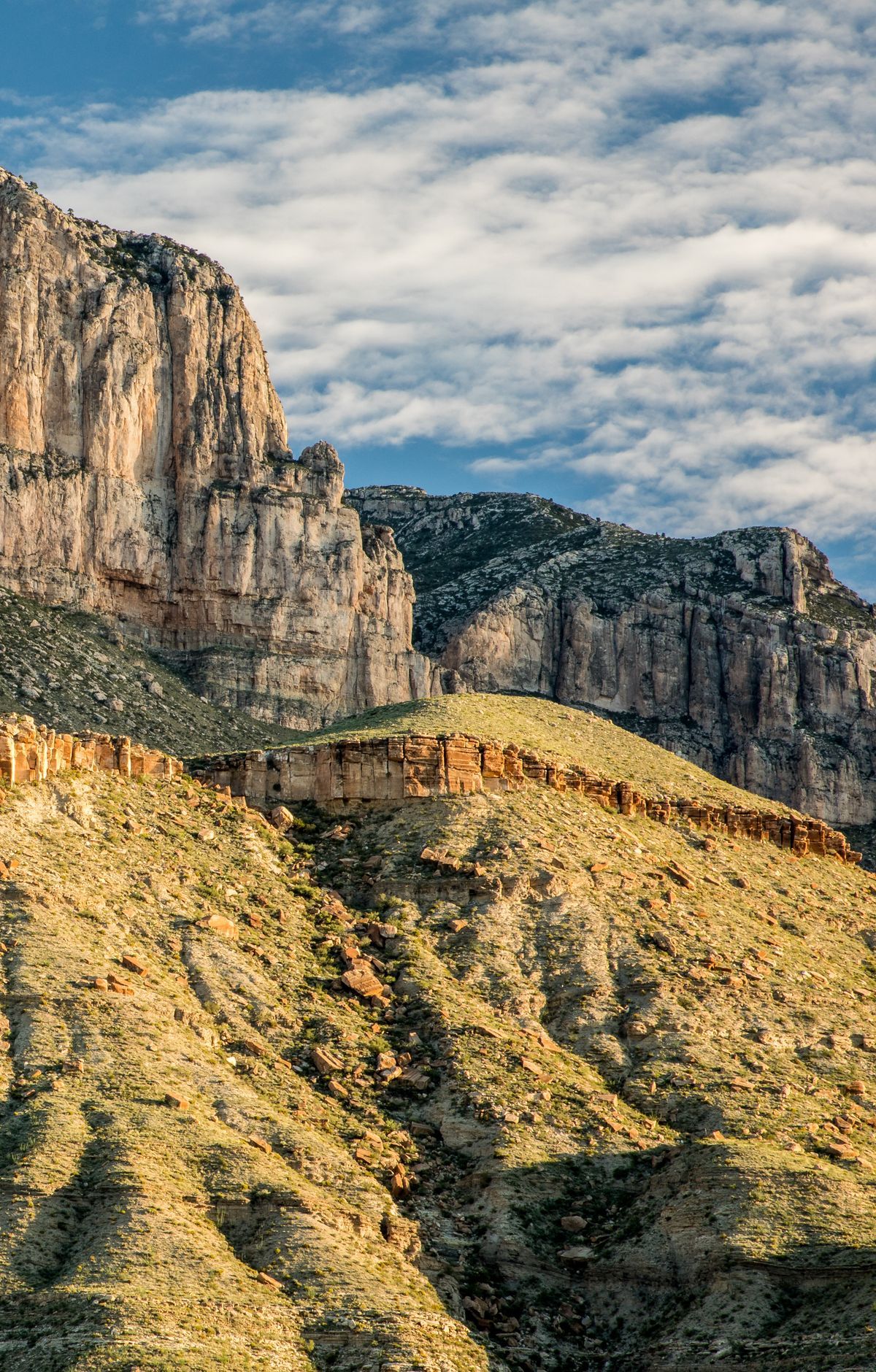
The paved path takes about 20 to 30 minutes to walk, beginning at a trailhead in the Pine Springs area. Along the way you reach the ruins of Pinery Station, which was built in 1858 on what was known as the Old Butterfield Stagecoach Route.
The Butterfield Overland Mail stagecoach line later used a route that travelers had already been following. Those travelers relied on El Capitan, the prominent peak at the southern end of the Guadalupe Mountains, as a landmark. Remains of a stagecoach station sit close to the Pine Springs Visitor Center, so traces of the line are easy to reach.
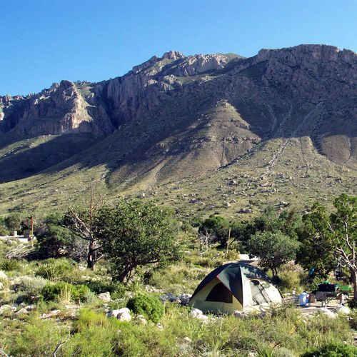
Pine Springs serves as the park's central starting point for most trips. The visitor center, a campground and a trailhead are all located here, and trails of many lengths begin nearby, including the route to Guadalupe Peak. The Frijole Ranch trailhead sits one mile north of Pine Springs, and the restored ranch holds a small museum.
Most visitors arrive on United States Highway 62/180, which passes near the Pine Springs Visitor Center. Within the park, the highway covers five miles, and several access roads branch off it to reach other features. On clear days, the mountains ahead stay in view across a stretch of about forty miles.