Guadalupe Mountains National Park guide · 2 min read
Reaching Dog Canyon and the Remote Edges
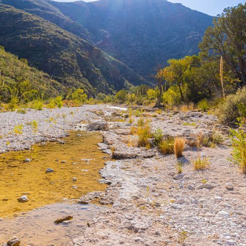
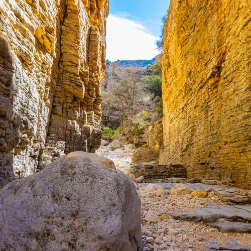
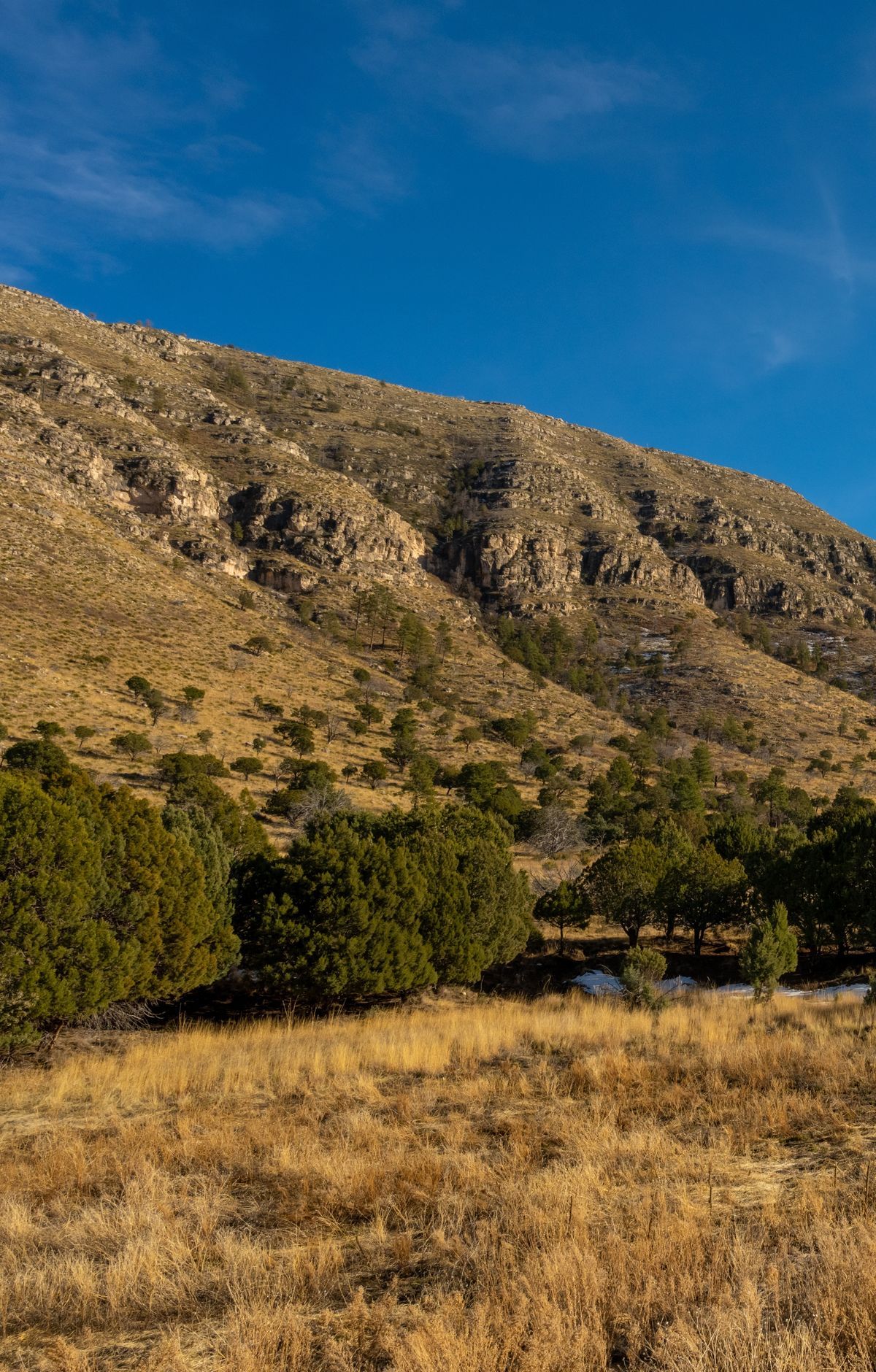
Dog Canyon sits at the north end of Guadalupe Mountains National Park, in a secluded, forested canyon at an elevation of 6,300 feet.
No roads pass through the heart of the park, so reaching the canyon takes a specific route. New Mexico State Road 137 and Dark Canyon Road, which is County Road 408, lead to Dog Canyon from United States Highway 62/180.
Plan your fuel before you set out. The trip between Carlsbad or Artesia, New Mexico, and the park is a two-hour round trip. It is fuel-intensive because of the alternating grades, and there are no filling stations along the way, so fill up in one of those towns first. Take care on the road, and avoid driving it in the dark.
Other roads reach the park as well. United States Highway 62/180 is the primary access and runs through the park near the Pine Springs Visitor Center. From Van Horn, Texas, Texas State Highway 54 heads north toward the mountains. The Dell City Agricultural Loop, made up of roads 1437 and 1576, connects to Williams Road and gives access to the Salt Basin Dunes.
Once you arrive at Dog Canyon, the Dog Canyon Campground sits below a high desert cliff, with picnic tables, RV sites, and horse corrals. Trails from the canyon offer relatively easy grades into the highcountry and the Guadalupe Mountains Wilderness, where you can take day hikes, backpack overnight, or ride horses. Backpackers and riders who stay overnight need a permit to camp in the Wilderness. Pets are not allowed on trails, and open fires are not permitted, so bring a self-contained stove for cooking.
The canyon sits right at the edge of the wilderness boundary, which gives it a remote feel. Visitors find quiet nights, birdwatching, hiking and time alone here. Compared with Pine Springs, it is a calmer, less crowded place to spend a day on the trail.