Hawaiʻi Volcanoes National Park guide · 1 min read
1790 Footprints and the Park's Historic Sites
In 1790, a violent explosion at the summit of Kīlauea sent a cloud of hot gas, ash, and sand over the Kaʻū Desert.
Groups of Native Hawaiians traveling the region on long-used trails were caught in the storm, and many were killed. Others left footprints in the fresh layer of ash, and those prints can still be seen today. They serve as a reminder that Hawaiians have witnessed the geological forces shaping this island for centuries.
The Footprints shelter, which holds an exhibit about the prints, is an easy walk of about eight-tenths of a mile from the Kaʻū Desert Trailhead on Highway 11. Plan for one to two hours for the hike. Bring water, food, a hat, sun protection, and rain gear for the trip.
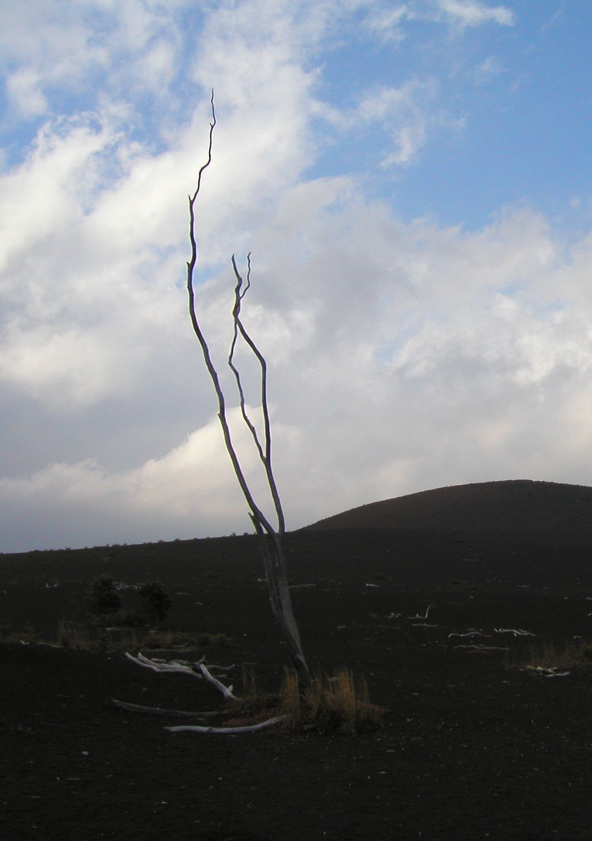
The Kaʻū Desert is a harsh, moonlike landscape, shaped by eruptions and ashfall from the Halemaʻumaʻu crater. The surrounding park also holds other historic places. Wilkes Campsite is on Mauna Loa, and Ainahou Ranch and the Ainapo Trail are also on the National Register of Historic Places.
Whitney Seismograph Vault Number 29 is at the Hawaiian Volcano Observatory and is also listed on the National Register of Historic Places. Together, these sites show how the park's history reaches well beyond the Footprints.