Hawaiʻi Volcanoes National Park guide · 2 min read
Climbing Mauna Loa's Summit Trail
Mauna Loa is a shield volcano on Hawaiʻi island, and its summit rises to about 13,680 feet above sea level.
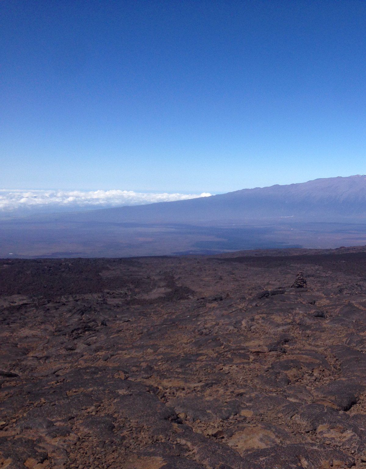
The Mauna Loa Trail is the backcountry route to the top. Much of it crosses high-altitude lava, where footing is uneven and the rock can be sharp and loose. Since the air grows thinner as you climb, treat the hike as a long day and build in frequent rest stops.
Before you set out, inspect your footwear and confirm the soles are sound and well fastened, then pack duct tape in case of a repair. Give yourself extra time before starting so you can rest and get used to the elevation, and keep sipping water along the way. Expect the day to run longer than you think.
Piles of stacked stones, called cairns, mark the route across the lava, but they can be hard to spot when visibility is poor. Along the trail at roughly 10,035 feet, Puʻuʻulaʻula Cabin, also known as Red Hill Cabin, gives a calm outlook over the mountain. Mauna Loa Summit Cabin is another backcountry campsite along the way.
Hikers can also combine the two routes, going up the Mauna Loa Trail and descending the Mauna Loa Observatory Trail. The road up to the observatory sits near 11,000 feet and is pocked with potholes, so keep your speed low. An out-and-back day from the observatory to the rim of Mokuʻāweoweo Caldera typically needs six hours or longer, so an early start helps.
If you prefer a shorter outing, Mauna Loa Lookout lets you take in the mountain with less effort. Perched partway up the slope at close to 7,000 feet, it overlooks Kīlauea Caldera and the shoreline, though clouds often obscure the mountain itself. The drive up Mauna Loa Road covers 11.2 miles one way on an unpaved surface, and the road narrows and twists the whole way. A vehicle cannot take you to the top from this approach.