Hot Springs National Park guide · 2 min read
Where 43 Thermal Springs Emerge
Forty-three thermal springs are believed to be flowing in the park. They come up through a gap between Hot Springs Mountain and West Mountain, an area roughly 1,500 feet long and 400 feet wide.

Most of the water is hot, drawn from thousands of feet underground, with some shallow cold groundwater mixed in. Rain falling on the mountains to the north and northeast soaks down through cracked rock at about one foot a year, reaching depths of 4,500 to 7,500 feet, where it is heated.
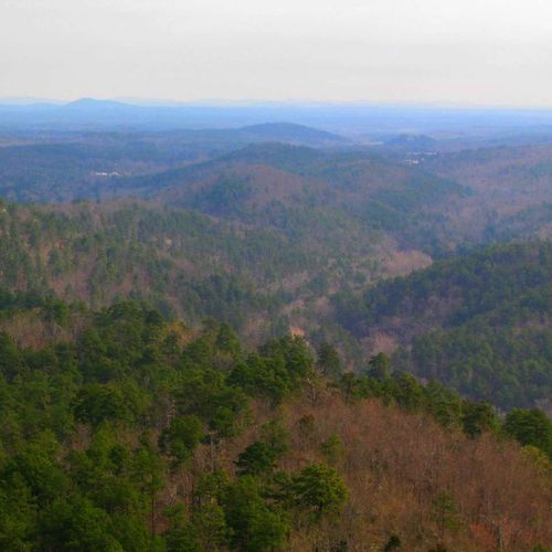
The springs sit in the Ouachita Mountains of central Arkansas. For much of the Paleozoic Era, sediment piled up in a shallow sea here. Later, two tectonic plates collided and folded those layers into mountains. Fractured chert, novaculite and sandstone allow groundwater to move through them, whereas shale tends to slow it down.
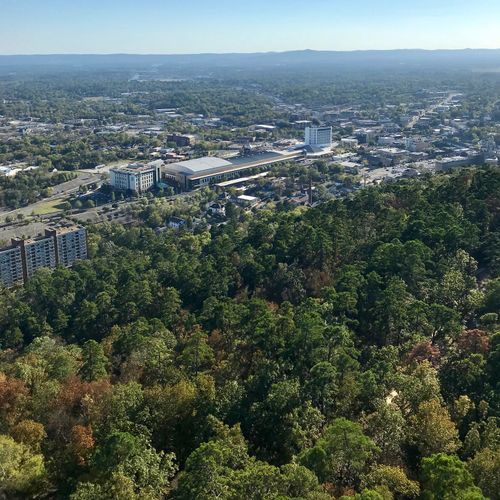
Water from 33 of the springs is collected at a central reservoir, which supplies the combined flow for public use. The springs cluster near the foot of Hot Springs Mountain, where a tower and a pagoda overlook the Ouachita Mountains. The longest trail in the park is the Sunset Trail, which runs across West Mountain, Sugarloaf Mountain and North Mountain, and the Balanced Rock Overlook lies along it.
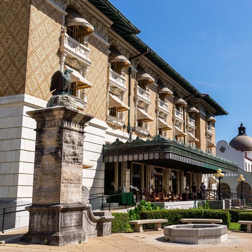
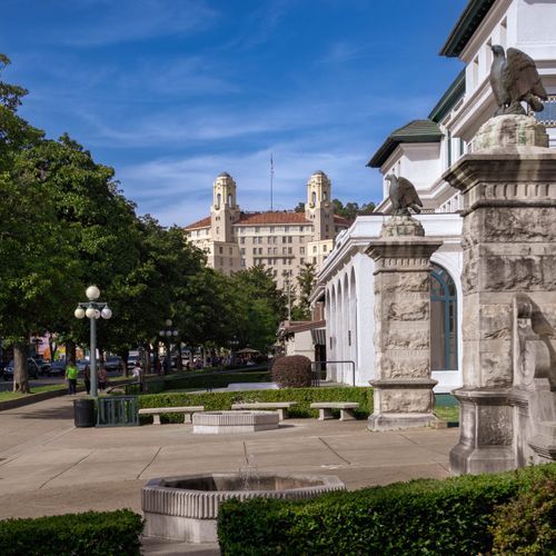
Many visitors also fill containers at the public fountains on Bathhouse Row and at Happy Hollow Spring. Two bathhouses on the Row offer soaks in thermal water piped in directly from the springs. The Buckstaff, which opened in 1912, has kept operating since then and is the only facility on the Row that never shut down. The Quapaw offers a modern spa with open thermal pools in the Roman style.
Visitors can see the Hot Water Cascade on the Arlington Lawn. Some trails on Hot Springs Mountain pass troughs that channel the thermal water.