Hot Springs National Park guide · 1 min read
26 Miles of Trails in the Ouachita Mountains
Hiking on the park's trails ranges from short walks to a long loop. The Grand Promenade is the easiest place to start.
This National Recreation Trail runs about half a mile one way behind Bathhouse Row and links downtown to the trails on Hot Springs and North Mountain. Its four entry points include stairs at Reserve Street and a grand staircase at Stephen's Balustrade.
Shorter trails tie into one another across Hot Springs and North Mountain, so a day on foot can be put together in several combinations. Oertel, Peak, and Tufa Terrace trails all start from the Grand Promenade. Gulpha Gorge Trail links the Gulpha Gorge Campground to that same network of paths.
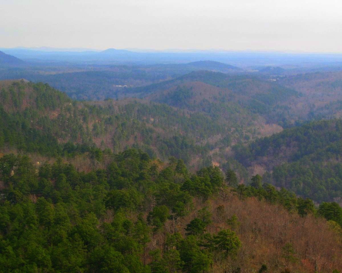
Views are a major draw on several of these trails. Goat Rock Trail runs about 1.1 miles one way and offers views across the Ouachita Mountains, along with a look at the land where water soaks down to feed the thermal springs. Balanced Rock Overlook sits along Sunset Trail, where the lookout takes in the Balanced Rock formation. Mountain Tower and Pagoda each give a different angle on the Ouachita range.
The Sunset Trail is the park's longest route, stretching about 10 miles one way through some of its most remote country. Because of its length, hikers often split it into three parts: West Mountain at 2.8 miles, Sugarloaf Mountain at 2.6 miles, and Stonebridge Road at 3.8 miles. Joined with the Hot Springs Mountain, North Mountain, and West Mountain trails, it forms a strenuous loop of 15 to 17 miles.
The Ouachita National Forest, headquartered in Hot Springs, covers 1.8 million acres across central Arkansas and southeastern Oklahoma. The forest is managed for several purposes, and outdoor recreation is one of them.