Isle Royale National Park guide · 1 min read
Greenstone Ridge and Mount Desor
Mount Desor is the highest point on Isle Royale, at about 1,362 feet. Dense tree cover over the top makes the summit hard to pick out from the path.
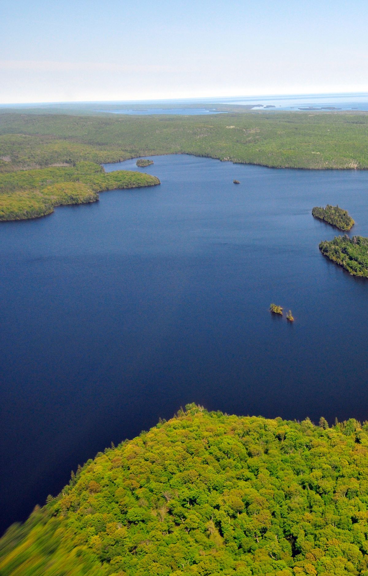
Going off trail to reach it calls for a map, a compass, and practice using both together.
The island is not wide, so you seldom cover much ground between shores, yet each ridge adds a steady run of ups and downs. Most of the island is made up of ridges that run southwest to northeast. The main one, Greenstone Ridge, climbs past 1,000 feet in many places.
Hikers and backpackers can cover the Greenstone Ridge Trail in sections. The first runs from Ishpeming Tower to South Desor, about 3.5 miles, and is smoother than many other parts of the trail. The second, roughly 5.2 miles from South Desor to Island Mine, climbs over one of the tallest ridge sections. Windigo and Rock Harbor both have trailheads for these legs, and conditions on the path can change, so plan to navigate with a map and compass.
Lake Desor lies along the route. Walkers coming from Ishpeming Tower pass through woods before the trees open to a view of the lake. South Lake Desor Campground sits inland from the south shore of the lake and is reached on foot from the Greenstone Ridge Trail, with no boat access. It has no camp store and its water is not potable, so bring drinking water.
Much of the route runs through deciduous forest, where sugar maples are common. Rounded pieces of chlorastrolite, also called greenstone, turn up on the shore and in the waters of Lake Superior.