
Joshua Tree National Park hiking guide
Lost Horse Mine
A 4.1-mile out-and-back with 470 ft of climbing in Hidden Valley, rated moderate.
Key facts
- Length
- 4.1 mi (6.6 km)
- Elevation gain
- 470 ft (144 m)
- Route type
- Out and back
- Difficulty
- Moderate
- Area
- Hidden Valley
- Highest point
- 5,059 ft
- Lowest point
- 4,587 ft
About Lost Horse Mine
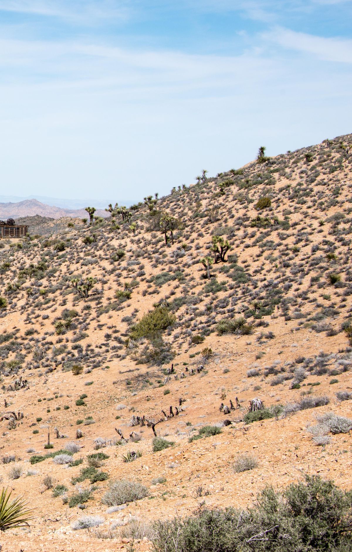
Relics of one of the park's more productive gold operations lie along the way: a stamp mill, mining equipment and the remains of an old cabin. The route opens onto wide views over desert valleys and mountains. Shade is limited and cell service is unreliable, so carry plenty of water. Please stay out of the fenced milling site and leave historic artifacts where you find them.
Route map
This route was checked by Parka editors.
