
Joshua Tree National Park hiking guide
Ryan Mountain Trail
A 2.8-mile out-and-back with 1,050 ft of climbing in Hidden Valley, rated difficult.
Key facts
- Length
- 2.8 mi (4.6 km)
- Elevation gain
- 1,050 ft (321 m)
- Route type
- Out and back
- Difficulty
- Difficult
- Area
- Hidden Valley
- Highest point
- 5,458 ft
- Lowest point
- 4,406 ft
About Ryan Mountain Trail
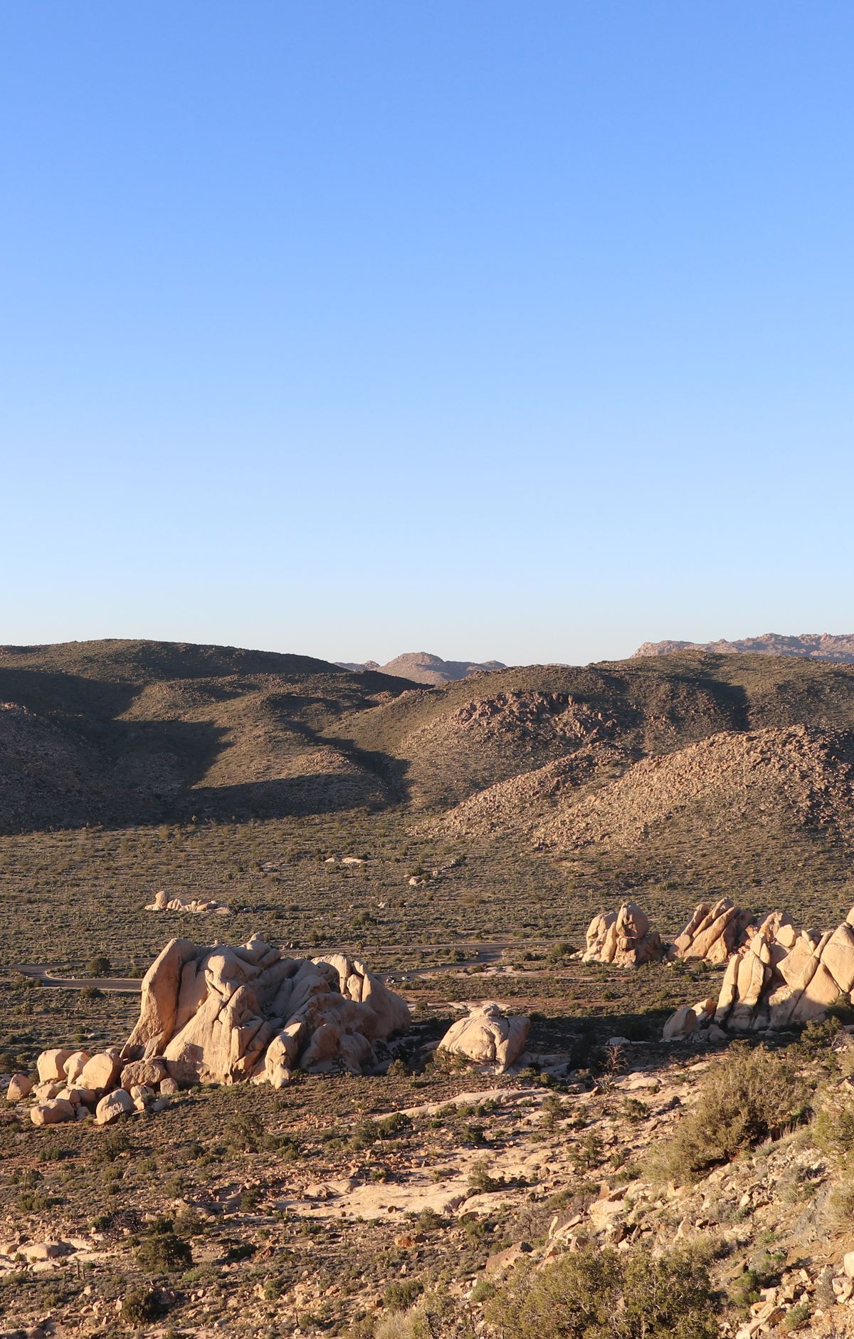
This trail offers stunning panoramic views of the surrounding landscape, including Pinto Basin and Lost Horse Valley. It features a steep ascent with numerous stone steps, culminating in breathtaking vistas on a clear day. The summit is a prime spot for sunset viewing.
Route map
This route was checked by Parka editors.
