Kobuk Valley National Park guide · 2 min read
Arctic Dunes Where Forest and Tundra Collide
The Great Kobuk Sand Dunes rise about 100 feet and sit amid evergreen trees, making them the park's best-known view.
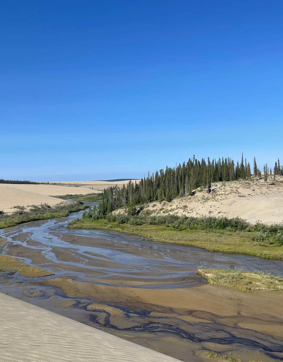
Visitors can reach them on foot from the Kobuk River by crossing two to three miles of tundra. There is no marked trail, so a map and compass are essential, and the round trip takes roughly four hours. Pilots flying wheeled aircraft can also set down right on the sand.
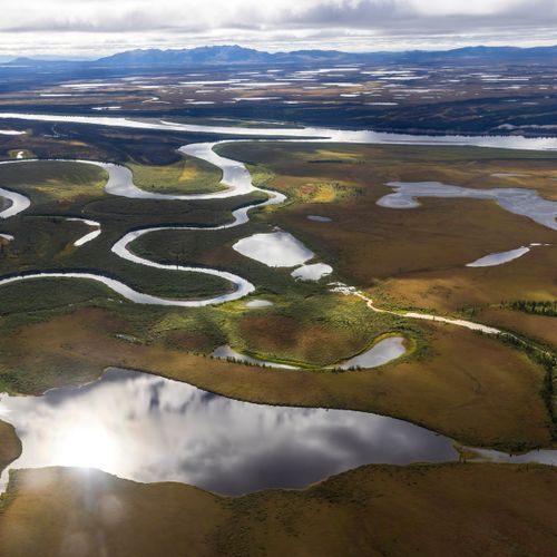
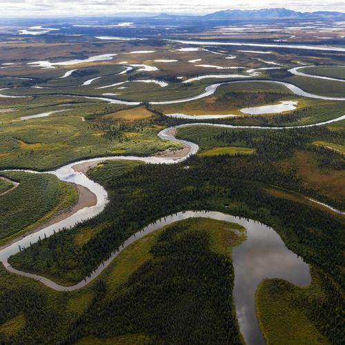
Here the boreal forest gradually gives way to tundra, and the park sits in the transition zone between the two. The Kobuk locoweed, a small flowering member of the pea family, grows only within the park. Its pink blossoms brighten the sand. Ask staff at the Northwest Arctic Heritage Center in Kotzebue where to look.
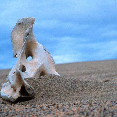
Thousands of caribou from the Western Arctic herd are the park's most visible animals. Each year the herd shuttles between wintering ground below the Waring Mountains and calving ground above the Baird Mountains. Their crossings of the Kobuk have long been central to subsistence hunting by Inupiaq people. Wolves, brown bears, and moose also live in the park, and caribou tracks can be seen cutting across the sculpted dunes.
With no roads or campgrounds, backpackers carry all their gear and prepare for unpredictable weather. Once a tent is up on the open sand, the dunes give you room to choose any direction for a day hike. Backpackers can also cross the tundra or make for the Baird Mountains.
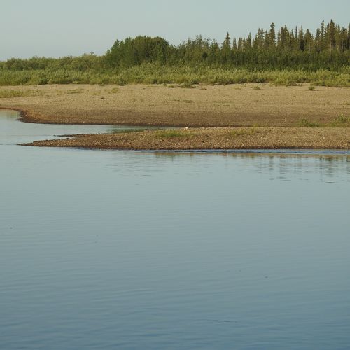
Floating the Kobuk River is another option. Most trips start with an air taxi flight from Bettles or Kotzebue, and there are no services once you are on the water, so plan every item in advance. Collapsible canoes and kayaks handle the slow current well, and small rafts are another choice. Before you go, stop at the Northwest Arctic Heritage Center in Kotzebue to see its museum and speak with a ranger.