
Lassen Volcanic National Park hiking guide
Cinder Cone Trail
A 3.8-mile out-and-back with 840 ft of climbing in Butte Lake Area, rated difficult.
Key facts
- Length
- 3.8 mi (6.0 km)
- Elevation gain
- 840 ft (256 m)
- Route type
- Out and back
- Difficulty
- Difficult
- Area
- Butte Lake Area
- Highest point
- 6,865 ft
- Lowest point
- 6,052 ft
About Cinder Cone Trail
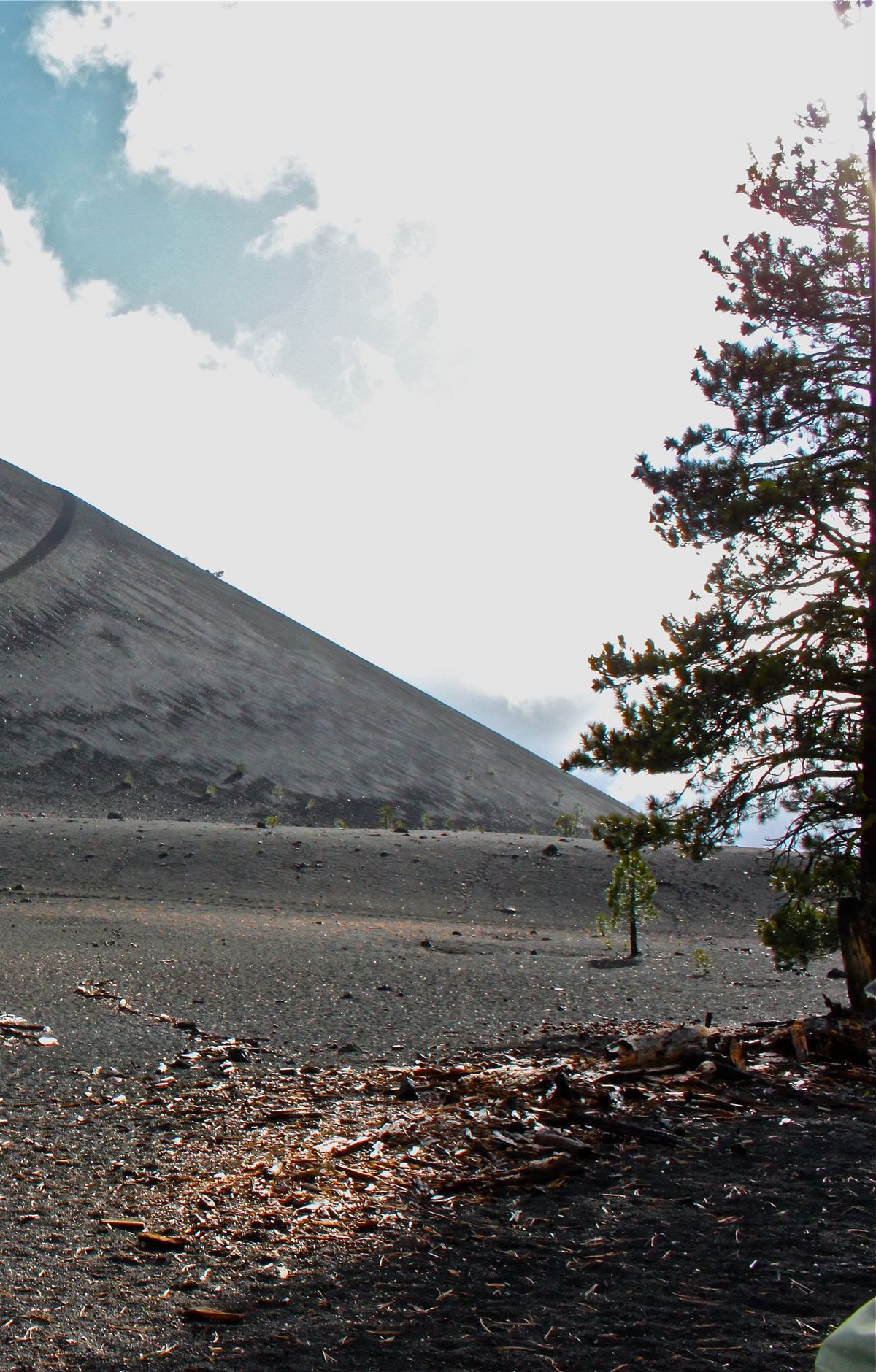
This trail offers a challenging hike up a volcanic cinder cone, culminating in stunning views of the surrounding area. Once at the summit, hikers can explore the crater's interior, featuring unique geological formations. The ascent is strenuous due to loose volcanic scree, but the panoramic views from the top are rewarding.
Route map
This route was checked by Parka editors.
