Mount Rainier National Park guide · 1 min read
America's Most Glaciated Peak and Its Five Rivers
Rising to 14,410 feet, Mount Rainier is the tallest peak in Washington state and the most prominent mountain in the Cascade Range.
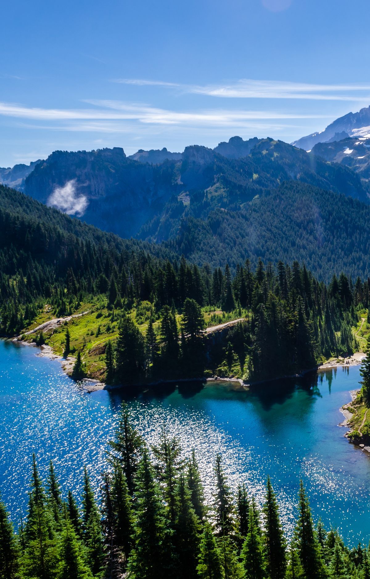
It is an active stratovolcano, and its last eruption happened about 150 years ago. Because the mountain sits close to Seattle and Tacoma and so much of the peak is wrapped in snow and ice, it is considered quite dangerous. A large eruption could send massive floods and mudflows down its valleys.
Of all the peaks in the lower 48 states, none is more heavily covered by glaciers than this one. Ice fans out in every direction from the summit and has carved deep valleys into the flanks, while a round crater at the very top holds its own glacial ice. Glaciers here feed five major rivers that flow away from the mountain.
Carbon Glacier stretches north for more than five miles, ending at 3,500 feet, lower than any other glacier in the contiguous United States. Its ice reaches nearly 700 feet in depth in places, the deepest of any glacier in the country. Emmons Glacier, by contrast, spreads across more ground than any other glacier in the park.
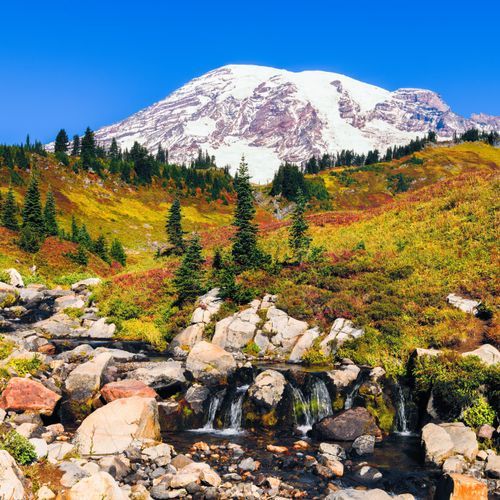
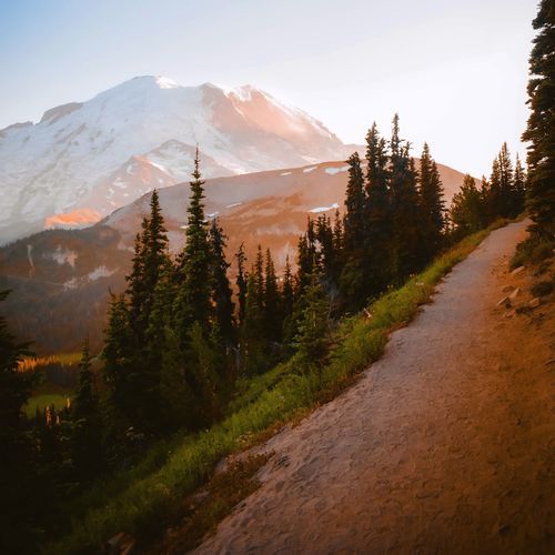
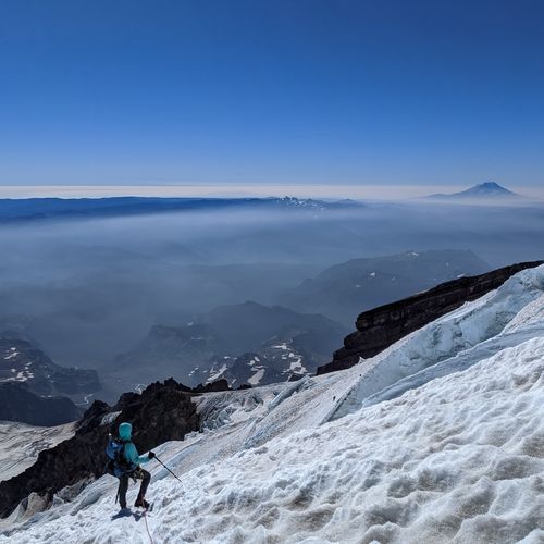
Down low, old-growth forest fills the valleys and climbs the lower slopes, while higher up, subalpine meadows bloom with wildflowers around the ice. Climbing the peak draws thousands of people each year. More than twenty routes and ski descents begin from four main trailheads: Paradise, Westside Road, White River, and Mowich Lake. Every route to the top involves more than 9,000 feet of climbing over more than ten miles. Climbers need top physical condition and rope skills for travel on glaciers, both on the way up and on the way down.