
Mount Rainier National Park hiking guide
Burroughs Mountain Loop
A 9.6-mile loop with 4,750 ft of climbing in Sunrise, rated difficult.
Key facts
- Length
- 9.6 mi (15.4 km)
- Elevation gain
- 4,750 ft (1,448 m)
- Route type
- Loop
- Difficulty
- Difficult
- Area
- Sunrise
About Burroughs Mountain Loop
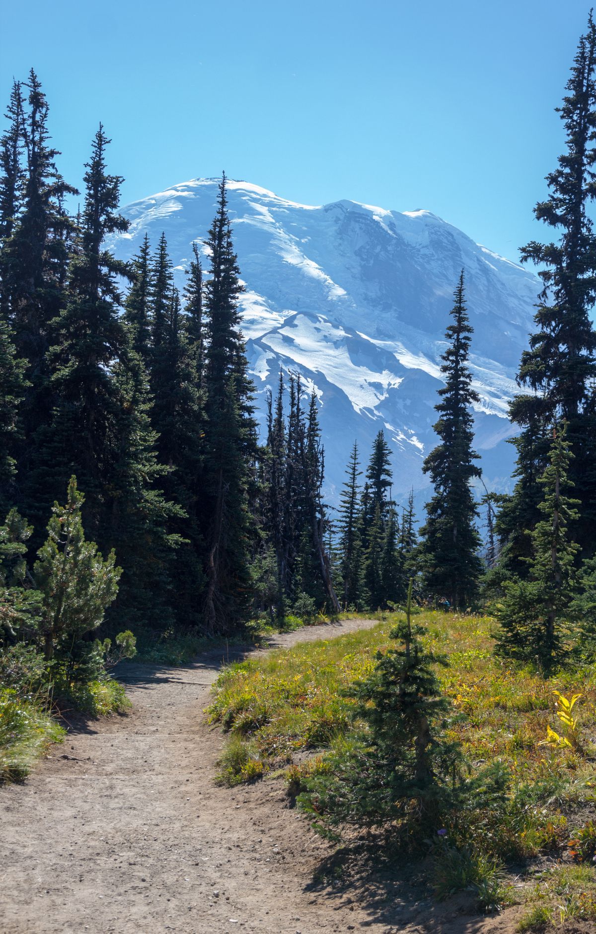
Hike through a series of rugged peaks offering breathtaking views of Mount Rainier's glaciated face. The trail traverses alpine tundra, featuring mats of ancient mountain heather and dwarfed plant species. It provides access to two main peaks, with an optional extension to a third for those seeking more adventure. The hike offers stunning vistas of surrounding mountains, including Mount Baker to the north and the Olympics to the west. The landscape shifts dramatically from lush meadows to barren, rocky terrain, showcasing the unique biodiversity of the region.
Route map
This route was checked by Parka editors.
