
Mount Rainier National Park hiking guide
Spray Park Trail
A 4-mile out-and-back with 580 ft of climbing in Mowich Lake, rated moderate.
Key facts
- Length
- 4.0 mi (6.4 km)
- Elevation gain
- 580 ft (176 m)
- Route type
- Out and back
- Difficulty
- Moderate
- Area
- Mowich Lake
- Highest point
- 4,949 ft
- Lowest point
- 4,697 ft
About Spray Park Trail
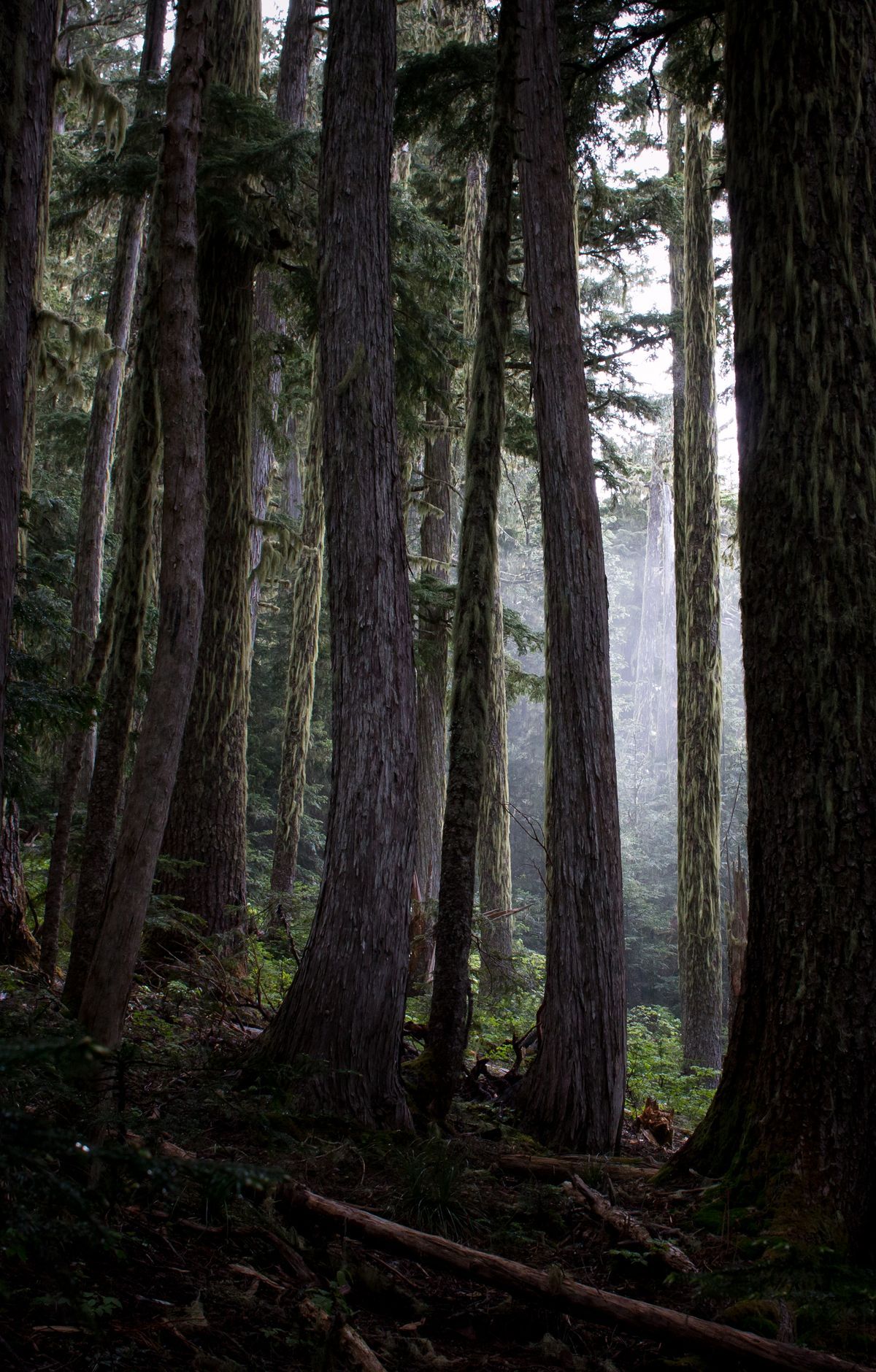
This hike traverses open forest before reaching the Eagle's Cliff overlook, offering spectacular views of Mount Rainier and the Mowich Glacier. A short spur trail leads to a viewpoint of Spray Falls, followed by a steep climb into the subalpine meadows of Spray Park, known for vibrant wildflowers during summer.
Route map
This route was checked by Parka editors.
