National Park of American Samoa guide · 1 min read
Ta‘ū: Saua, Si‘u Point and Wild Coast
Of the park’s three units, Ta‘ū is the biggest and wildest. Its land covers 3,700 acres, and its offshore waters add another 1,100 acres.
Flights from Tutuila land at Fiti‘uta, a village with an airport on the island. Once you arrive, you will find places to stay on Ta‘ū.
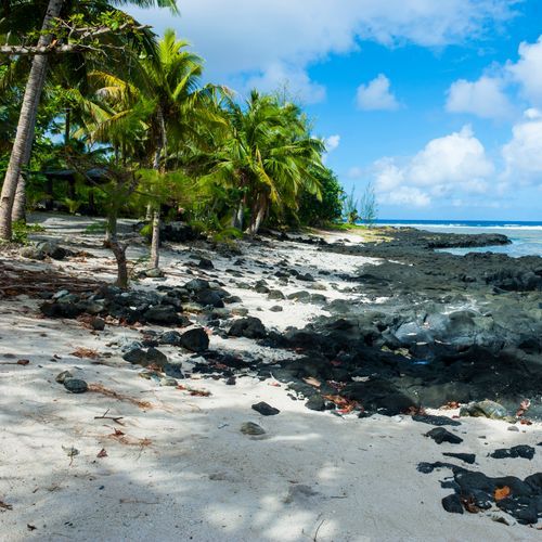
The Si‘u Point Trail is the longer of the park’s hikes on Ta‘ū, and it suits anyone keen to learn about the island’s natural and cultural past. The round trip is 5.7 miles, or 9.2 kilometers. You begin on an old road that passes through coastal forest, then reach the Saua site, which holds cultural meaning, before arriving at the island’s southeastern tip. Past the Saua site, a path curves around Si‘u Point to the southern coastline.
The southern coastline is rocky, with sea cliffs rising above the water. Lata Mountain, the tallest spot in American Samoa, reaches 3,170 feet. An older path to the top has grown over, and getting through it means cutting with a machete, so expect a rough route.
Hiking is one of the park’s main draws, with trails for many skill levels. Routes range from short, gentle walks to longer treks through rainforest and up steep ridges. Water is another draw, and snorkeling, diving and fishing are all possible. Roughly 4,000 acres of the park lies underwater. Ask at the visitor center for current trail details before you set out.