
National Park of American Samoa guides
12 in-depth guides to National Park of American Samoa, in reading order: what to see, how to get around, and what to know before you go. Back to the National Park of American Samoa overview.
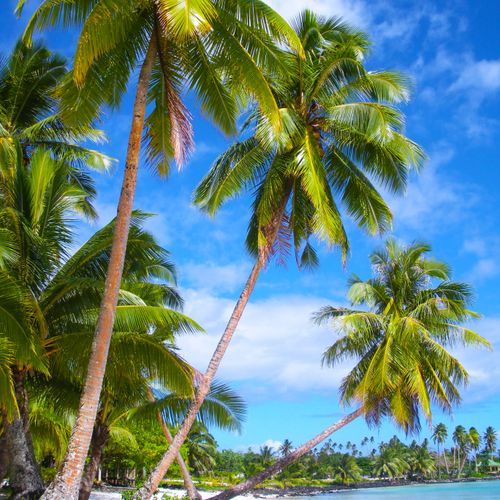
Reaching Ofu and Ta‘ū by Plane and Boat
Reaching the National Park of American Samoa starts at Pago Pago International Airport on Tutuila, the largest island in American Samoa.
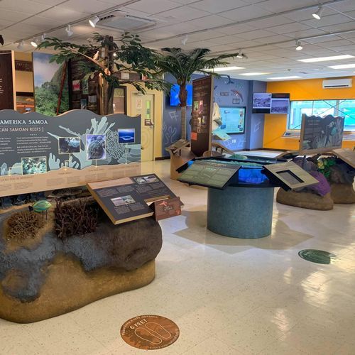
Starting at the Pago Pago Visitor Center
The National Park of American Samoa Visitor Center is in the village of Pago Pago on Tutuila, across from the Pago Way Service Station.
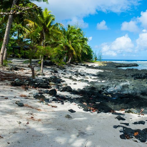
Wet Season, Dry Season and 300 Inches of Rain
The year here divides into two broad seasons. The long, wet stretch from October through May brings frequent showers and the possibility of tropical storms.
Mount Alava Summit and Its Harbor Views
The summit of Mount Alava rises to 1,610 feet on Tutuila, the island that holds Pago Pago.
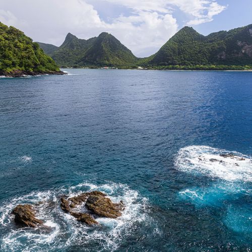
The Scenic Road to Vatia and Pola Island
The scenic road from Pago Pago to the north coast gives you a good look at the landscape of Tutuila.
Ofu Lagoon: Snorkeling the Underwater Park
Nearly all of the park's portion of Ofu Island lies below the waterline. About 4,000 acres of the national park are underwater across its three islands, and Ofu's coral reefs are the best known of them.
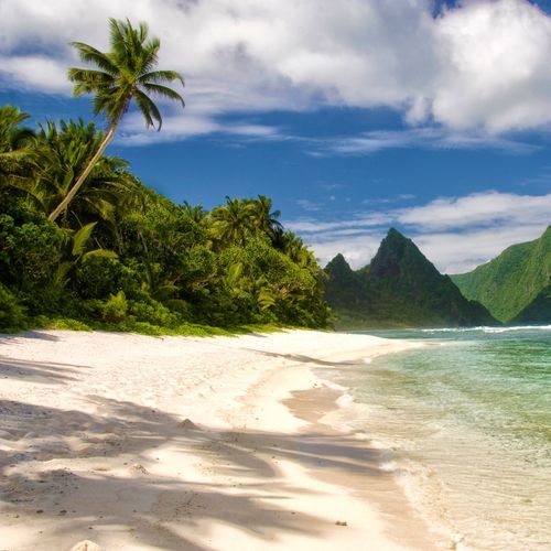
Hot-Spot Volcanoes: How the Samoan Islands Formed
Beneath the Pacific Plate sits a hot spot, and it built the volcanic islands that make up most of the park's land.
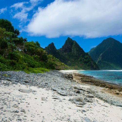
America's Only Paleotropical Rainforest
Rainforest covers nearly all of the land on the park's volcanic islands, reaching from the mountaintops down to the shore.
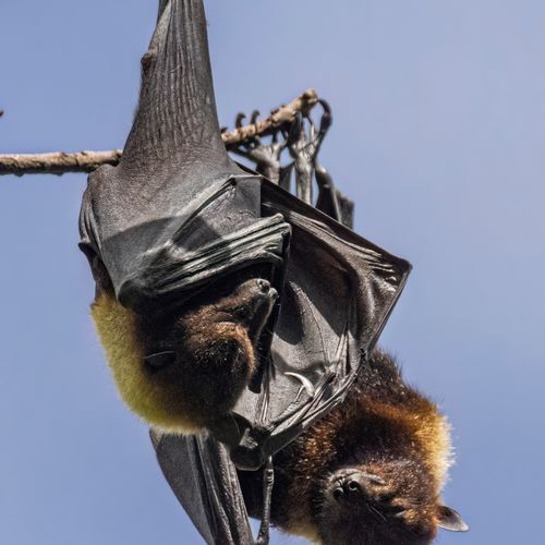
Flying Foxes and the Park's Founding
Flying foxes, also called fruit bats, are one of the park's most important animals. Two large fruit bats, the Samoa flying fox and the white-naped flying fox, are among the only native mammals on the islands, and they help pollinate the plants of the rainforest.
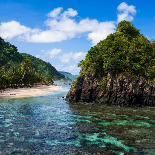
Matai Chiefs and Samoa's Communal Land
Much of the land in National Park of American Samoa is held under the traditional communal land system.
World War II Heritage Trail and Breakers Point
The World War II Heritage Trail links Blunts Point with the old tramway site on Tutuila. Between those two ends, the path climbs through rainforest and passes a handful of wartime installations, though the footing is often slick and the scenery in the middle changes little.
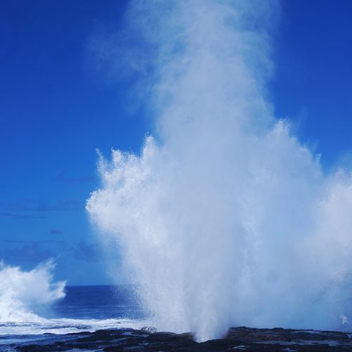
Ta‘ū: Saua, Si‘u Point and Wild Coast
Of the park’s three units, Ta‘ū is the biggest and wildest. Its land covers 3,700 acres, and its offshore waters add another 1,100 acres.
