Rocky Mountain National Park guide · 1 min read
150 Glacial Lakes, Moraines and U-Shaped Valleys
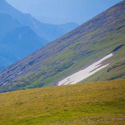
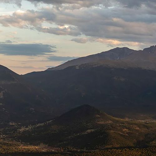
Glacial geology shows up everywhere in Rocky Mountain National Park, from the high peaks down to the valley floors.
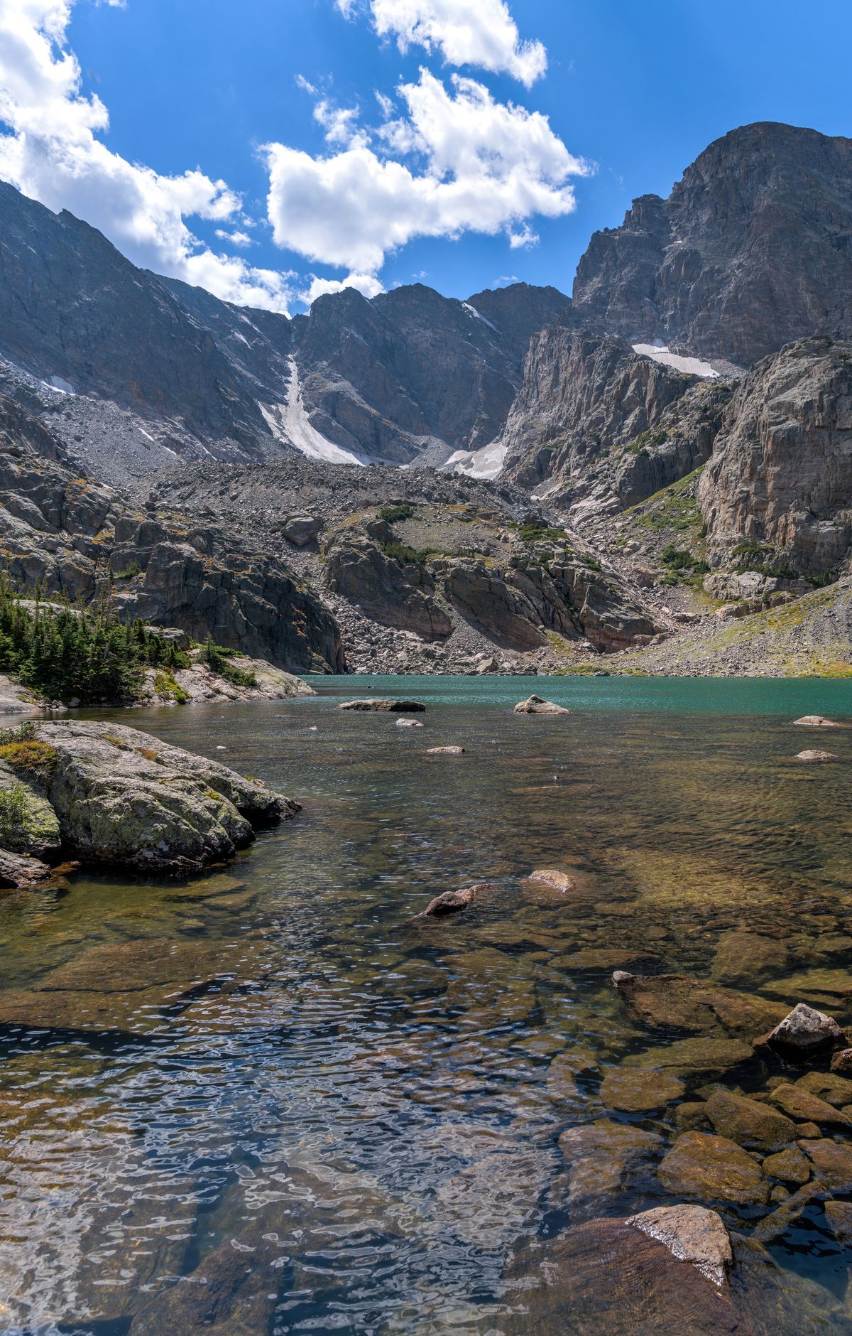
During the Quaternary period, ice and streams cut through older sediment and stripped away as much as 5,000 feet of sedimentary rock left by ancient inland seas. That erosion exposed the basement rock of the Ancestral Rockies. On the east side of the Continental Divide, heavy glaciation left deep valleys and bowl-shaped cirques.
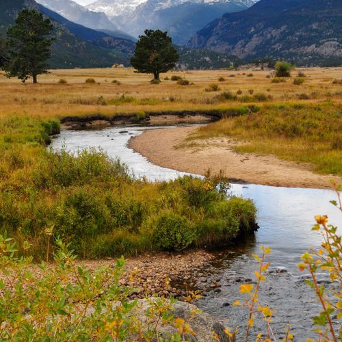
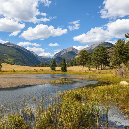
Moraine Park is an easy place to start. An easy 0.8-mile self-guided nature loop begins there, and the Moraine Park Museum and Amphitheater sit in the same area. From nearby trailheads, Cub Lake is a 4.6-mile round trip and can be linked into a loop with the Fern Lake Trail.
The Bear Lake Trailhead, at 9,475 feet, opens onto a string of lakes. Nymph Lake is half a mile away, Dream Lake is 1.1 miles, and Emerald Lake is 1.8 miles one way with about 605 feet of climbing. Lake Haiyaha is another option from the same trailhead, 2.1 miles one way.
From Glacier Gorge Junction, the trail passes Alberta Falls at 0.8 mile and reaches Mills Lake at 2.8 miles. The Loch sits 3 miles out, and Sky Pond lies at 4.9 miles one way with a gain of 1,710 feet. Andrews Glacier is also reached from this junction, 5.3 miles one way with 2,510 feet of climbing. It is one of several small glaciers still in the park, along with Sprague, Tyndall and Taylor.
The Fern Lake Trailhead sits lower, at 8,155 feet. The trail follows a stream for 1.7 miles to The Pool, then passes through Arch Rocks to Fern Falls. Fern Lake lies beyond the falls, a 7.6-mile round trip of moderate effort.