
Rocky Mountain National Park hiking guide
Copeland Falls Trail
A 5.8-mile out-and-back with 520 ft of climbing in East Side, rated moderate.
Key facts
- Length
- 5.8 mi (9.4 km)
- Elevation gain
- 520 ft (158 m)
- Route type
- Out and back
- Difficulty
- Moderate
- Area
- East Side
- Highest point
- 8,787 ft
- Lowest point
- 8,316 ft
About Copeland Falls Trail
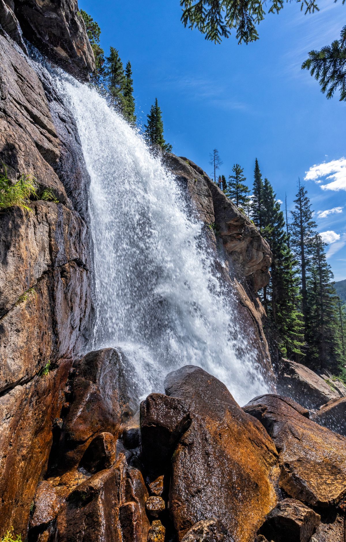
Stroll along the St. Vrain River to visit both Lower and Upper Copeland Falls, enjoying scenic views of the surrounding forest and wildlife. This trail is a gateway to further exploration of the Wild Basin area, leading to more waterfalls like Calypso Cascades and Ouzel Falls.
Route map
This route was checked by Parka editors.
