
Rocky Mountain National Park hiking guide
Longs Peak Trail
A 13.7-mile out-and-back with 4,860 ft of climbing in East Side, rated extreme.
Key facts
- Length
- 13.7 mi (22.0 km)
- Elevation gain
- 4,860 ft (1,480 m)
- Route type
- Out and back
- Difficulty
- Extreme
- Area
- East Side
- Highest point
- 14,248 ft
- Lowest point
- 9,392 ft
About Longs Peak Trail
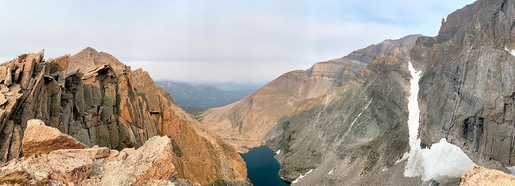
The journey begins with a steep ascent through forested terrain, then crosses the rugged Boulderfield. Beyond the Boulderfield, the Keyhole Route becomes a technical climb rather than a simple hike; it requires scrambling on steep, exposed rock with narrow ledges, loose rock, and sheer vertical faces where an unroped fall could be fatal. Key features along the route include the Boulderfield, the Keyhole, the Ledges, the Trough, the Narrows, and the Homestretch. Each section presents unique challenges that require careful route-finding, appropriate experience and equipment. The reward is a panoramic view from the summit, offering vistas of the surrounding peaks and landscapes.
Route map
This route was checked by Parka editors.
