
Rocky Mountain National Park hiking guide
Chasm Lake Trail
An 8.3-mile out-and-back with 2,480 ft of climbing in East Side, rated difficult.
Key facts
- Length
- 8.3 mi (13.3 km)
- Elevation gain
- 2,480 ft (755 m)
- Route type
- Out and back
- Difficulty
- Difficult
- Area
- East Side
- Highest point
- 11,821 ft
- Lowest point
- 9,402 ft
About Chasm Lake Trail
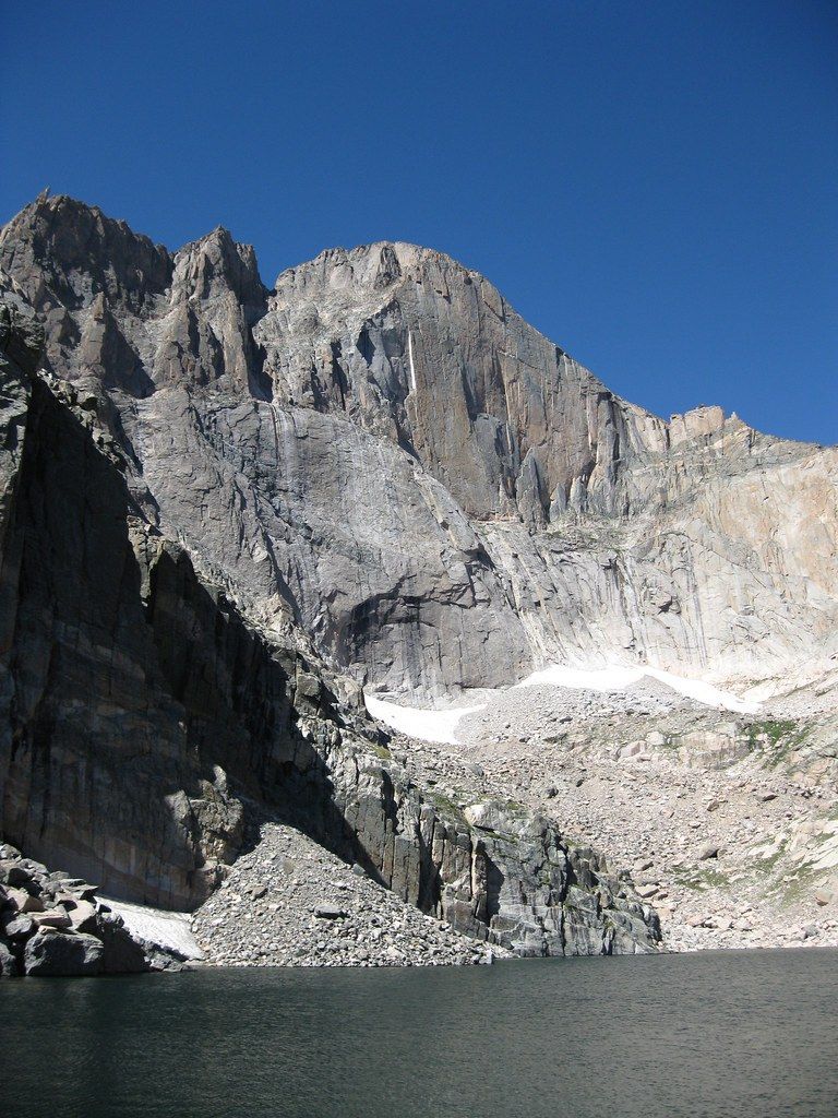
Hike through subalpine forest and alpine tundra to reach a striking alpine lake beneath the dramatic east face of Longs Peak. The trail follows the same route used by many Longs Peak hikers, passing features such as Chasm Junction and Chasm Meadow, and offers expansive views of Longs Peak. The final approach includes steep, rocky terrain and some scrambling to reach the lake.
Route map
This route was checked by Parka editors.
