Sequoia & Kings Canyon National Parks guide · 2 min read
From Foothills to Mount Whitney's Summit
Between the grassy foothills above the San Joaquin Valley and the crest of the Sierra Nevada, the parks rise through an elevation gradient.
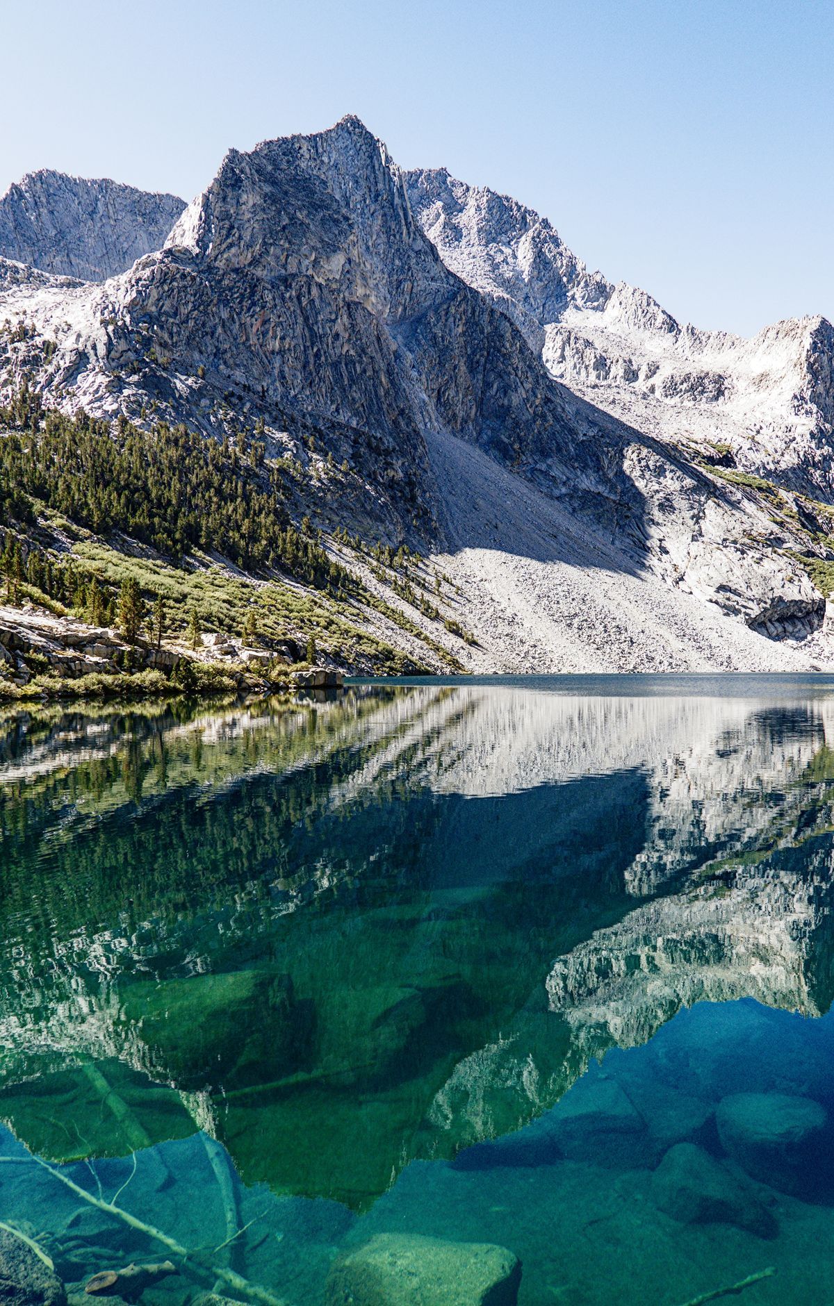
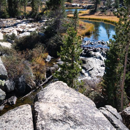
Hot, dry lowlands sit along the western edge, while the alpine country near the crest lies under snow. Over 1,200 vascular plant species grow here in dozens of communities, ranging from oak woodlands and chaparral up to alpine habitats.
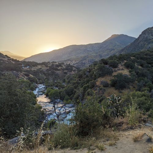
The foothills begin right after you enter Sequoia National Park, at about 1,700 feet, where grassy lowlands give way to granite. Oaks, chaparral and river canyons show up here. Life is more varied here than in the conifer forests or the High Sierra, taken together. Spring brings walks through wildflower fields, and black bears, mule deer and bobcats are often spotted. Sequoias do not grow this low.
Mount Whitney, at 14,491 feet, ranks among the loftiest summits in the country and rises near the far eastern boundary of Sequoia National Park. Its summit stays out of sight from park roads, screened by the Great Western Divide, a range through the park's middle. For a view, visit the Interagency Visitor Center on Highway 395, just south of Lone Pine.
Reaching the top can take one or two days, and attempting it in a single day is very strenuous. A permit is required for the Mount Whitney area, which sets it apart from most other day hikes here. The route runs across open, rocky ground on the west side of the Sierra crest before a short spur trail climbs to the summit.
Rosy finches live on the windswept summit, and marmots gather near the junction below, so keep food secured. Lightning is a serious hazard up here, since the metal roof of the 1909 weather hut draws strikes. During a thunderstorm, staying on the peak or on any exposed high ground is unsafe. Check conditions before you set out.