Parka

Sequoia & Kings Canyon National Parks hiking guide

Alta Trail

A 13.5-mile out-and-back with 3,910 ft of climbing in Giant Forest, rated extreme.
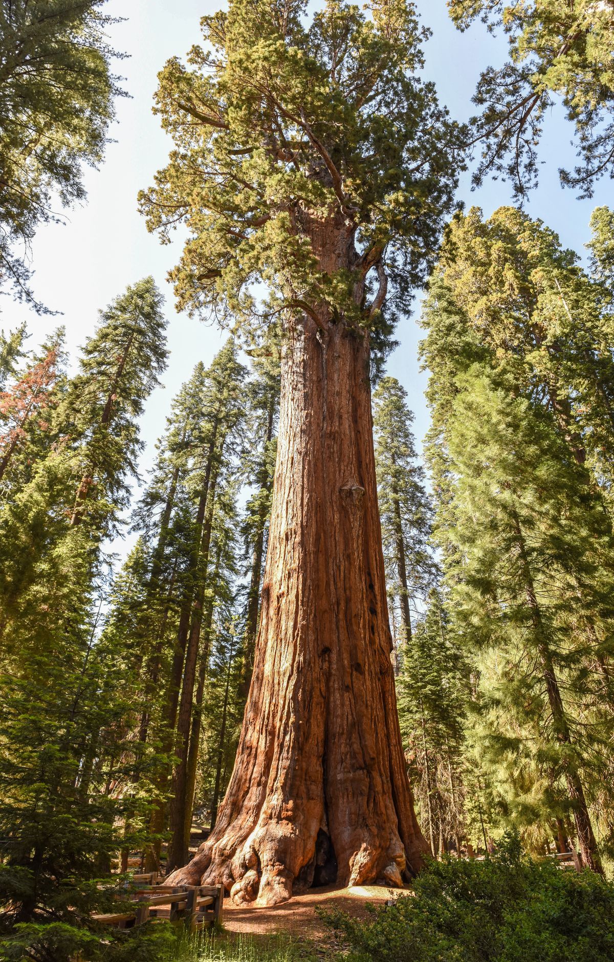
Alta Trail, Sequoia & Kings Canyon National Parks

Key facts

Length
13.5 mi (21.8 km)
Elevation gain
3,910 ft (1,192 m)
Route type
Out and back
Difficulty
Extreme
Area
Giant Forest

About Alta Trail

The route opens on a ridge-top section above Wolverton before plunging steeply into Giant Forest, where giant sequoias rise over the path. Below the McKinley Tree junction it passes some of the forest's finest groves and links with the Panther, Crescent and Bear Hill trails. The ground is steep in places and shaded by dense trees for much of the way.

Route map

Route map of Alta Trail in Sequoia & Kings Canyon National Parks1 miN
Start and finishNorth is up. Drawn from the route in the Parka app.

This route was checked by Parka editors.

Nearby in Giant Forest

Why Park Lovers Choose Parka

Trip Planner

All the tools for epic adventures

Works Offline

Fully functional without cell service

Updated Weekly

Trail conditions, alerts, and closures

Try Risk-Free

7-day free trial, cancel anytime

Start Your 7-Day Free Trial

Unlock everything you need for your next national park trip. Your first week is on us!

National Park vista

Start your adventure today

Download Parka and plan your perfect national park trip in minutes.

Explore All 63 National Parks

Browse parks by region and discover your next adventure