Virgin Islands National Park guide · 2 min read
Arriving via Cruz Bay and Driving Left
To get here, fly into Saint Thomas, then take a ferry to Cruz Bay on Saint John. Passenger boats leave from Red Hook or Charlotte Amalie, and vehicles board at Red Hook.
The first and last sailings of the day tend to be the busiest, so arrive at least half an hour early.
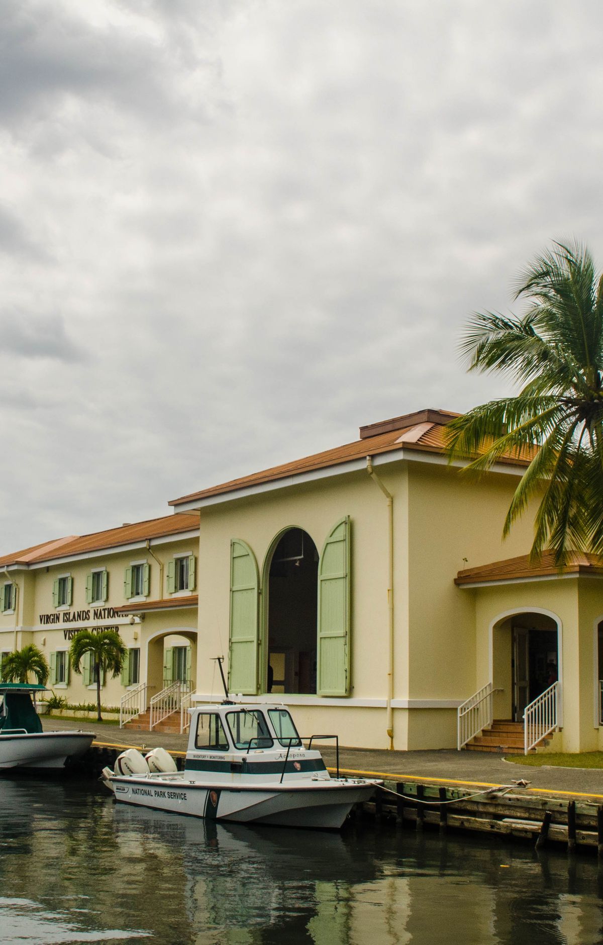
Ferries land at Cruz Bay, where the Cruz Bay Visitor Center serves both the park and Virgin Islands Coral Reef National Monument. The building has a wheelchair-accessible entrance, parking, and restrooms. Inside, exhibits show reef fish and coral, Taino artifacts, and tools from the sugarcane era. Stop in for a park map, ranger program details, and a brochure of top snorkel sites.
On Saint John and Saint Thomas, traffic keeps to the left, and every vehicle places the driver on the left side. Use extra caution when turning, pulling out, or crossing the road. On foot, walk on the right-hand edge so you face oncoming vehicles. Parking is tight at many park sites and in downtown Cruz Bay.
Roads here are narrow and winding, and many climb or drop steeply, with sharp turns on the slopes. There are no shoulders, and in most places no painted center line. Wild donkeys, cows, goats, chickens, and deer roam the roads, and pedestrians share the pavement. Keep speeds low.
Renting a car is the simplest option. You can pick one up in Saint Thomas and bring it over on a car ferry, or rent on Saint John, where most Cruz Bay agencies offer Jeep Wranglers. Safari bus shuttles and tour operators wait at the Cruz Bay ferry terminal. Route 20, also known as North Shore Road, leaves the ferry dock, passes the visitor center, and reaches most beaches and campgrounds. The Lind Point Trail also starts at the visitor center.