Voyageurs National Park guide · 1 min read
Boat-In Camping on 270 Lakeside Sites
Voyageurs National Park has more than 270 campsites, and all but two of them are reached by water.
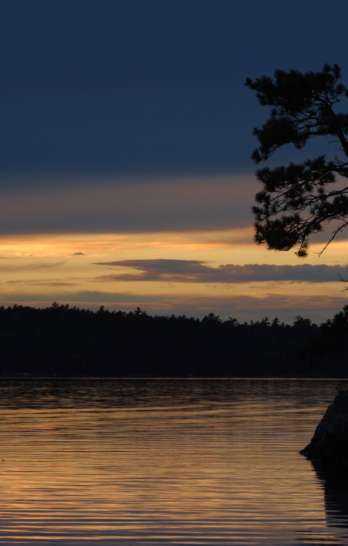
You can set up on a lake shore and often find the spot largely to yourself, away from busier campgrounds. Since the park is so water-based, it helps to know the main site types before you choose one.
Most of the park's campsites are frontcountry sites. There are 137 of them on the large lakes, reachable directly from any park boat launch, and they lie mostly along Rainy, Kabetogama, Namakan, and Sand Point Lakes. Backcountry campsites are more remote. You travel by boat to a trailhead, then hike to a site that holds up to six campers.
For a hiking trip that needs no boat, the primitive campsites along the Kab-Ash Trail sit on the mainland and can be reached from any trailhead parking lot. Day use and visitor destination sites are for daytime visits only, such as picnicking and swimming.
Houseboating lets you reach far parts of the park for an extended stretch without tent camping, while keeping home comforts within reach. Houseboat sites lie on Rainy, Kabetogama, Namakan, Sand Point, and Crane Lakes, with up to two houseboats per site. The park does not rent houseboats, but commercial companies in the gateway communities do. Any houseboat, sailboat, or cabin cruiser with sleeping and cooking facilities and a no-discharge toilet needs an overnight permit.
Reservations and permits for every site type except day use and visitor destination sites are made through recreation.gov. Searching for voya camping brings up the park's permit listings. A National Geographic map shows the campsites, houseboat sites, and day use sites, and it is sold at any of the three visitor centers or through the Jefferson National Parks Association.