Wrangell - St Elias National Park & Preserve guide · 2 min read
Driving the McCarthy Road to the Footbridge
The McCarthy Road runs about 60 miles of gravel from Chitina into the heart of the park. In the first few miles, pull-outs look over the meeting of the Chitina and Copper rivers, an easy first stop.
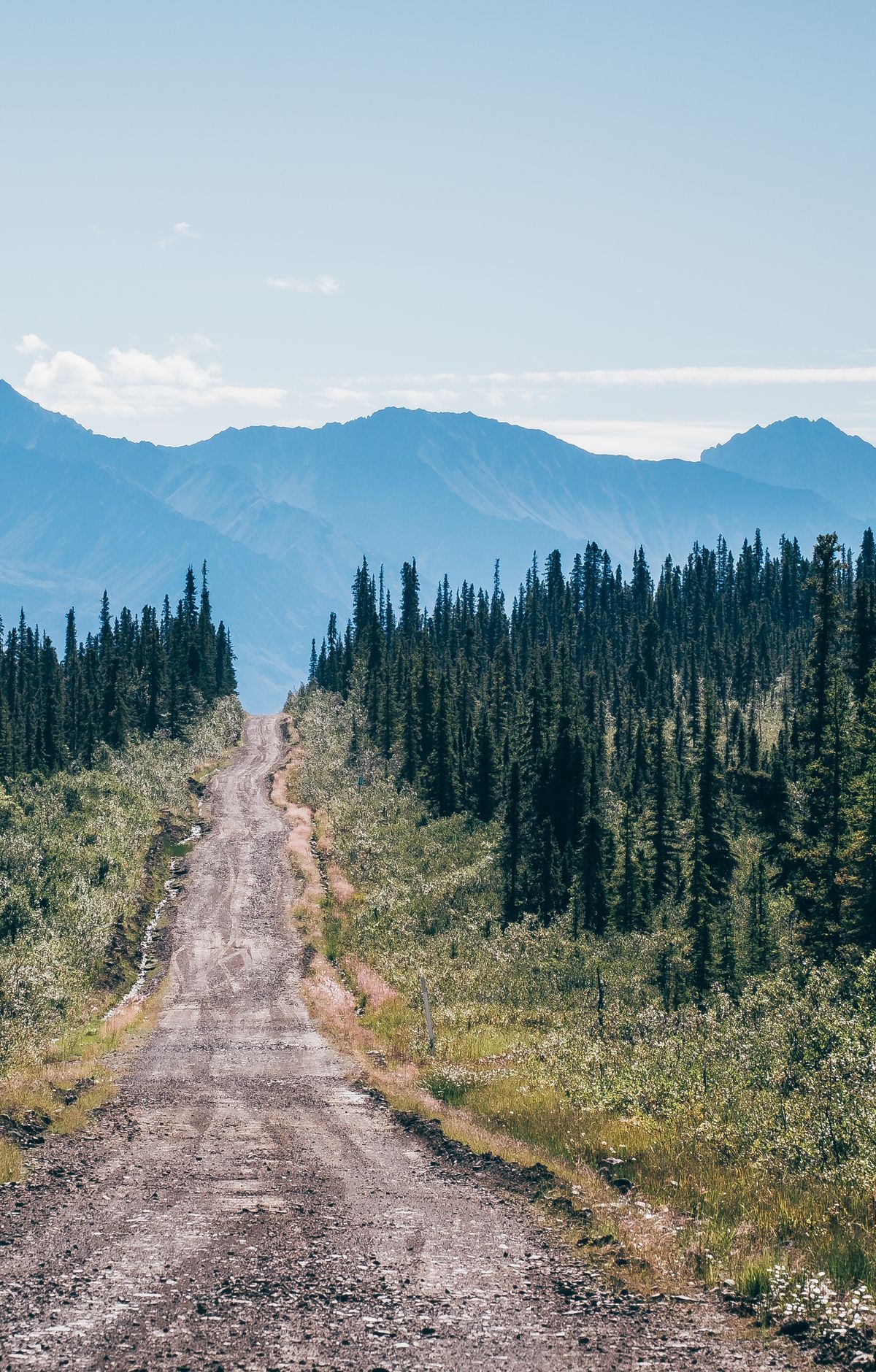
Expect ruts and washboard in places. The State of Alaska, not the National Park Service, owns and runs the road, and many rental car companies bar their vehicles from it, so check your agreement first.
Railroad crews laid this route in 1909 to serve the Kennecott copper mines. After the big mining operations shut down in 1938, most of the track was pulled up and hauled off as scrap iron. Gravel was spread over the old rail bed in 1971, the same year a new Copper River bridge opened, giving the road its present form. Its narrow curves still trace the railway, and buried ties or a stray spike can surface, so drive attentively.
Around mile 17, a one-lane railroad bridge spans the Kuskulana River Canyon, so watch for oncoming vehicles and don't stop on the span. Near mile 29, the Gilahina Trestle, a wooden railway structure from 1911, comes into view. Moose, bears, bald eagles and even bison turn up along the road too.
At mile 60 the road ends at the Kennicott River, and cars go no farther. A footbridge crosses the river, with carts waiting at both ends. Load your gear, wheel it over, and leave the cart for the next person. McCarthy is about half a mile past the river, and Kennecott about five miles.
Across the bridge, a dirt road leads to a rest stop where the McCarthy shuttle pulls in frequently. It's a two-minute ride to McCarthy and about 15 minutes to Kennecott. If you'd rather not drive, you can also reach the towns by shuttle from Chitina or by air.