
Zion National Park hiking guide
Zion Narrows Top-Down Hiking Route
A 16-mile point-to-point with 2,080 ft of climbing in Zion Canyon, rated difficult.
Key facts
- Length
- 16.0 mi (25.7 km)
- Elevation gain
- 2,080 ft (632 m)
- Route type
- Point to point
- Difficulty
- Difficult
- Area
- Zion Canyon
- Trip length
- Multi-day
- Access
- Permit required
About Zion Narrows Top-Down Hiking Route
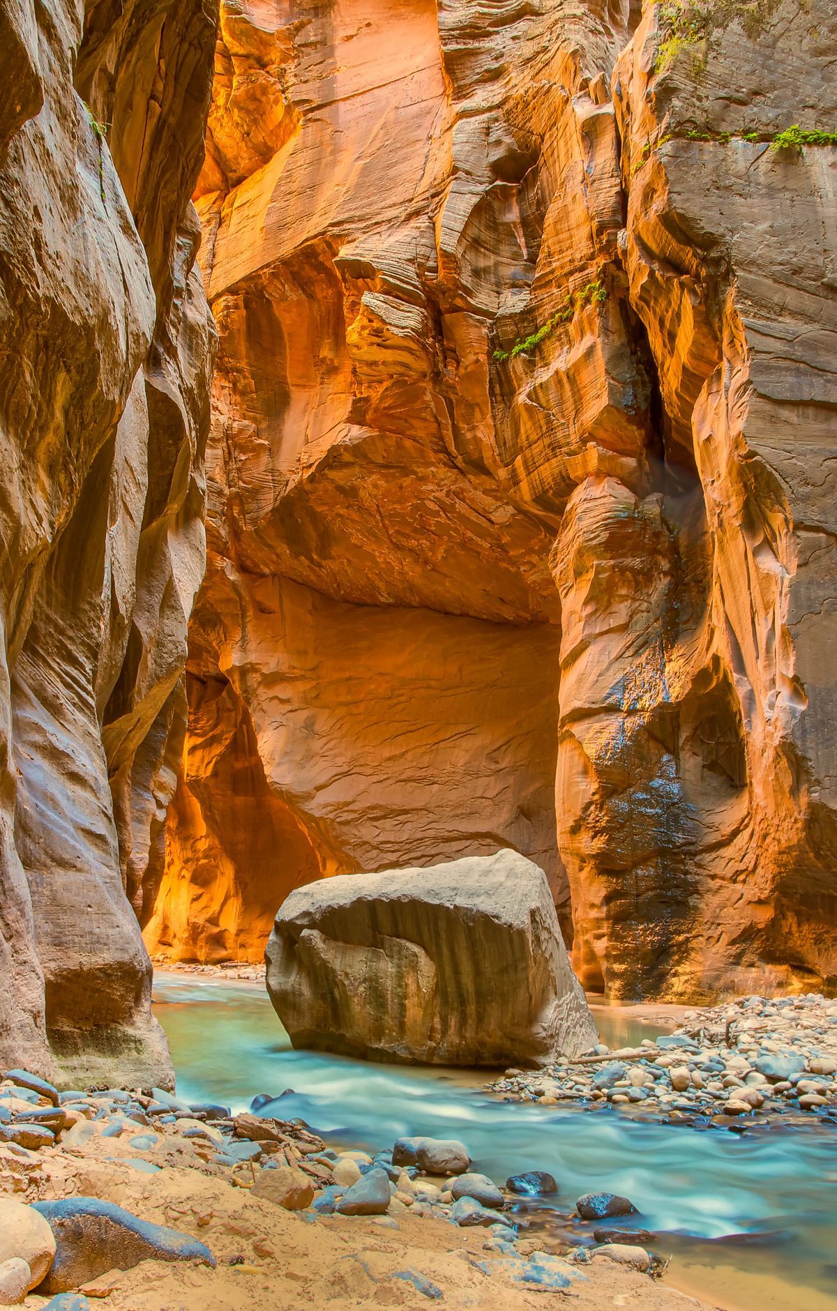
Follow the Virgin River through a gorge carved over millennia, surrounded by towering cliffs that rise as much as about 2,000 feet. The top-down (full) Narrows route begins in East Zion and descends into Zion Canyon, ending at the Temple of Sinawava. Much of the route is traveled in the river and requires wading; water depth commonly reaches thigh-deep (varies by season and flow), with slippery, uneven footing, obstacles, and occasional deep pools. Highlights include the iconic Wall Street section, where narrow passageways and towering walls create an unforgettable experience.
Route map
This route was checked by Parka editors.
