Capitol Reef National Park guide · 1 min read
The Waterpocket Fold: A 100-Mile Wrinkle
The Waterpocket Fold is a monocline, a long bend in the rock layers that runs about 100 miles through south-central Utah, and Capitol Reef National Park protects much of it.
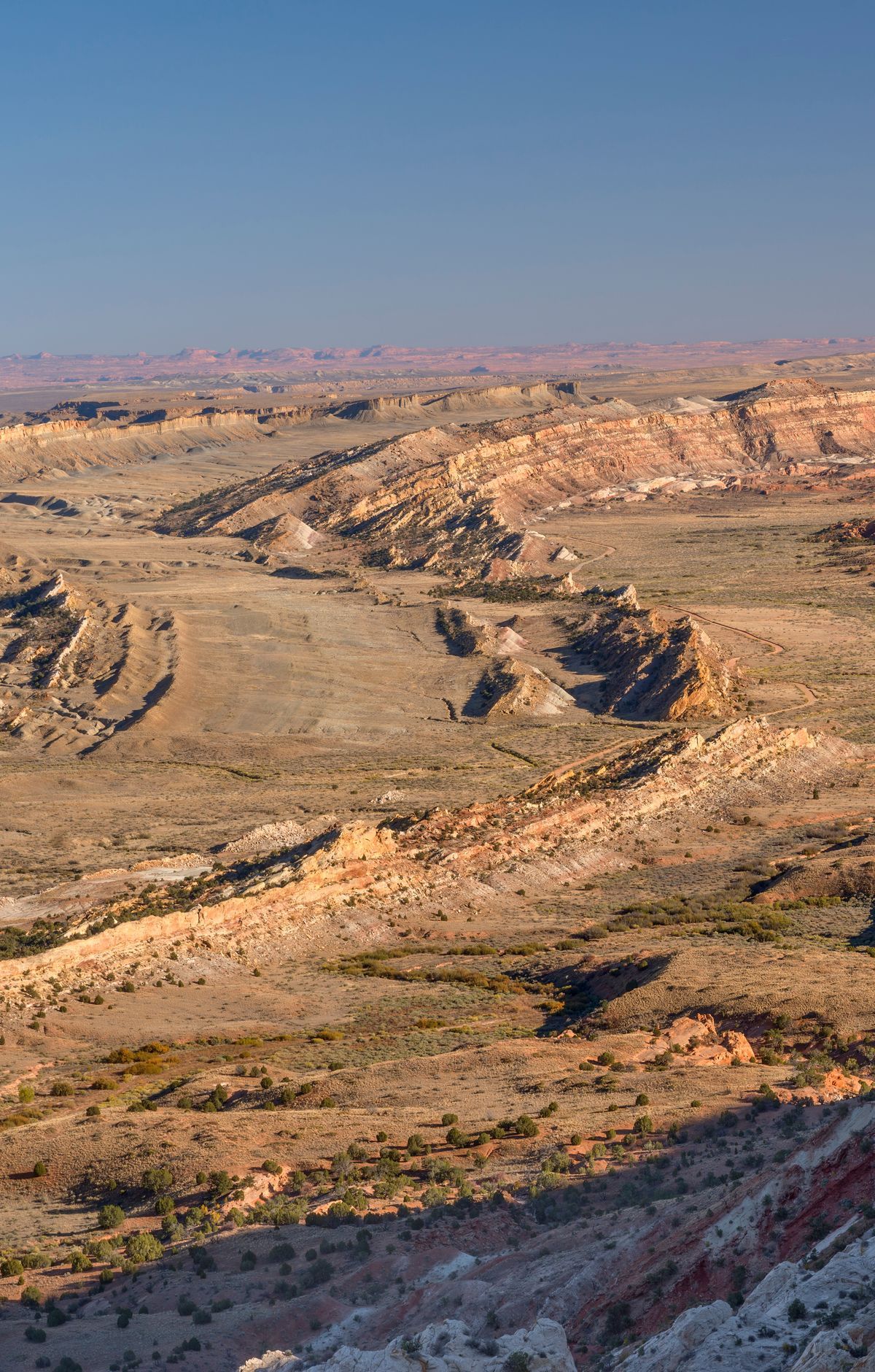
Roughly 50 to 70 million years ago, the ground on one side of a fault line was pushed upward relative to the other side. The rock on the western side now stands 7,000 feet higher than the rock on the east.
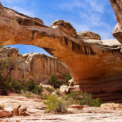
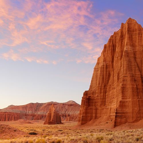
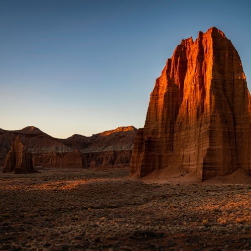
Water has worn away the sedimentary layers ever since that uplift. The erosion carved out waterpockets and keeps exposing fossils, large domes, canyons, arches and monoliths. Bands of rock show sharp contrasts in color and texture from one layer to the next.
The park takes its name from two features. White domes of Navajo sandstone, which look something like the United States Capitol, gave it the first half. Long ridges of the fold formed a barrier that early settlers found hard to cross, and they likened them to ocean reefs, which supplied the second half.
Loop the Fold is a backcountry drive that circles part of the fold through the remote south end of the park. Few visitors take it, so the trails along the route often feel quiet. Two favorite hikes sit along this loop: Surprise Canyon and Headquarters Canyon.