
Capitol Reef National Park hiking guide
Capitol Gorge
A 4.7-mile out-and-back with 190 ft of climbing in Fruita Historic District, rated moderate.
Key facts
- Length
- 4.7 mi (7.6 km)
- Elevation gain
- 190 ft (57 m)
- Route type
- Out and back
- Difficulty
- Moderate
- Area
- Fruita Historic District
- Highest point
- 5,425 ft
- Lowest point
- 5,236 ft
About Capitol Gorge
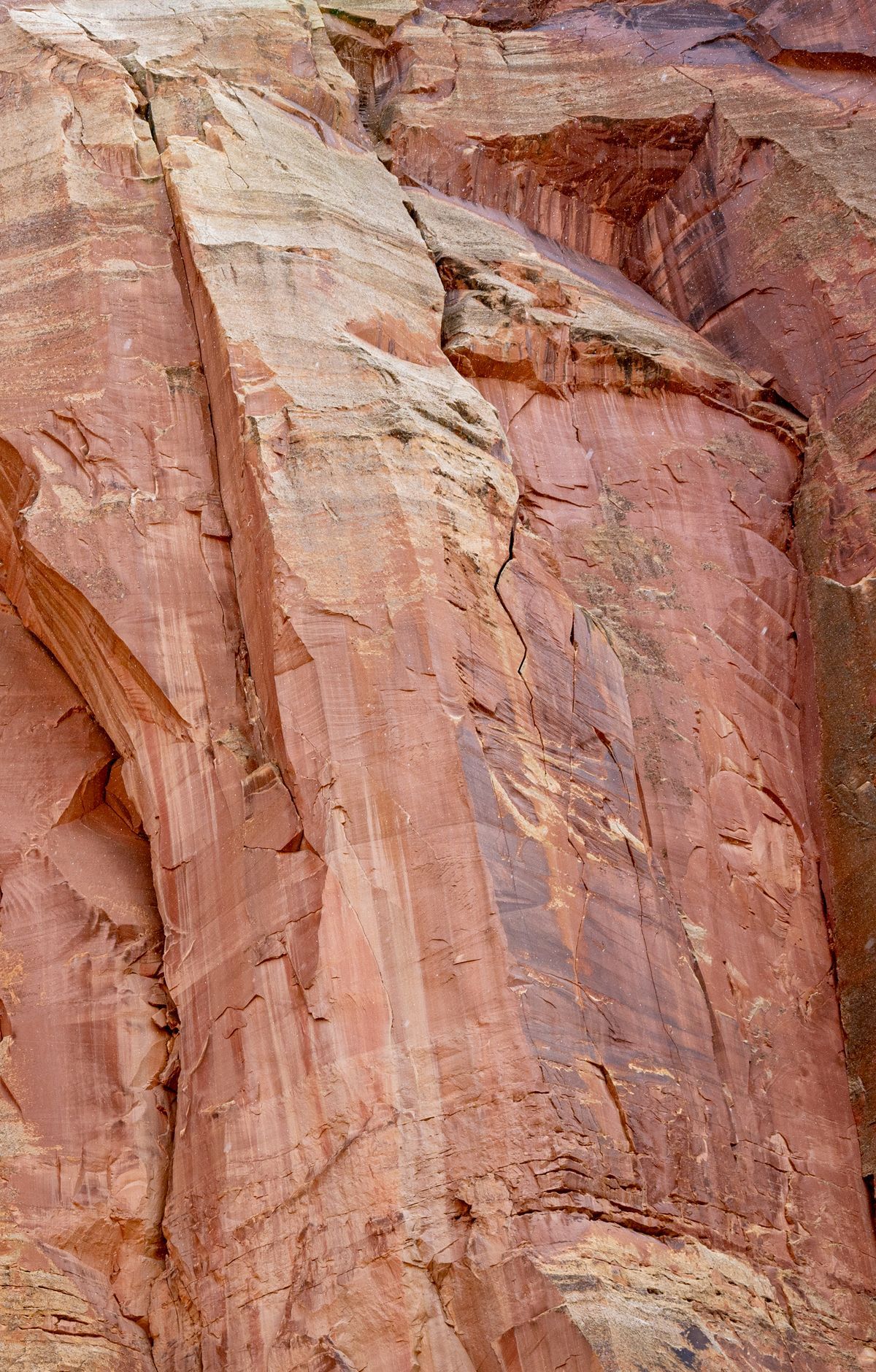
Follow the historic route through a deep, narrow canyon, passing by ancient petroglyphs and a pioneer register etched into the walls. The trail leads to natural water tanks, large potholes carved by centuries of water flow, and offers a glimpse into the region's rich cultural and geological history. Towering canyon walls provide shade and shelter, making the hike accessible year-round. A short side trail ascends to the tanks, offering a closer look at these natural wonders.
Route map
This route was checked by Parka editors.
